Baden-Württemberg · Germany
Schwarzwaldhochstraße
B500Baden-Baden to Baiersbronn
The Black Forest High Road, fast sweepers through dark pine and open ridge.
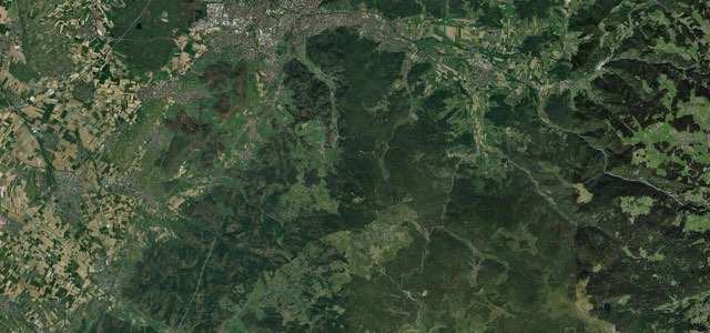
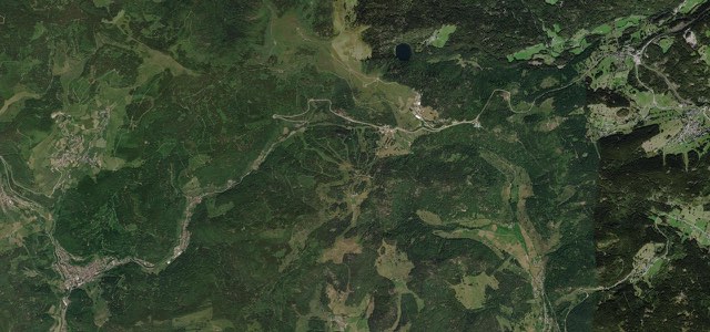
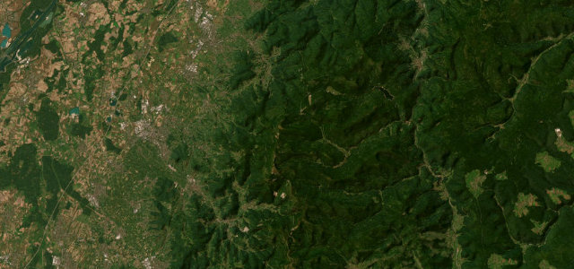
The B500 ridge road runs the spine of the northern Black Forest from Baden-Baden, a fast, beautifully surfaced sequence of sweeping curves through dense pine forest with the Rhine plain opening up below. A favourite of German drivers and bikers, flowing rather than tight, and glorious in autumn.
One of Germany’s oldest tourist roads, opened in the 1930s to ride the ridge of the northern Black Forest. Fast, open sweepers and dark-pine views, mile after mile.
Why we picked it
Scenery
Best seasons
In these collections
In these guides
Schwarzwaldhochstraße on the map14.5 mi · point to point
Navigate to the start: Apple Maps · Google Maps
Character
Corners
busiest around mile 1Elevation
under 4%4 to 8%over 8%611 to 1,041 mFrom the road
Points of interest3 stops
- MärchenwieseViewpoint2.5 mi in
- MummelseeViewpoint9.7 mi in
- SeibelseckleViewpoint11 mi in
Hazards
- Fast motorbike traffic
- Fog on the ridge
- Ice and snow in winter
Sources
“the oldest and most famous scenic route in south-western Germany”
Route traced from OpenStreetMap, with its stats measured from that line. How the roads are mapped
Driving the Schwarzwaldhochstraße: quick answers
How long does it take to drive the Schwarzwaldhochstraße?
How difficult is the Schwarzwaldhochstraße to drive?
When is the best time to drive the Schwarzwaldhochstraße?
Nearby roads
The closest great drives to Schwarzwaldhochstraße.