Swabian Alb, Baden-Württemberg · Germany
Böhringer Steige
B28Bad Urach to Römerstein-Böhringen
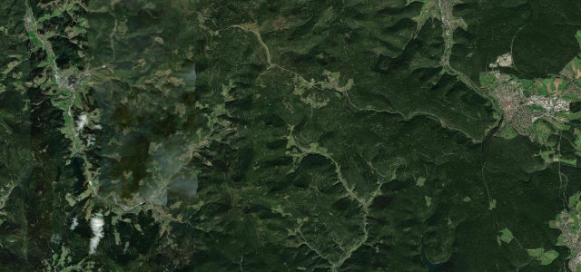
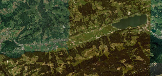
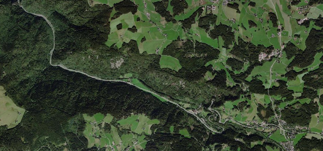
The B28's Albaufstieg from Bad Urach hauls up the dramatic escarpment of the Swabian Alb to the plateau at Römerstein, a steep, hairpinned ascent past the wooded Albtrauf that is one of the best-known climbs onto the Alb.
Leaving the spa town of Bad Urach the B28 attacks the Albtrauf, the steep northern wall of the Swabian Alb, in a tight stack of hairpins through beech forest before topping out on the cool high plateau around Römerstein-Böhringen, the highest-lying community of the Urach Alb. The climb is short but intense, with steep ramps and switchbacks, then opens into rolling plateau farmland. It is a popular run with motorcyclists and was resurfaced in 2018-19. Mind the steep stacked hairpins with limited overtaking room, heavy motorcycle traffic on fine weekends, and the abrupt weather change as you reach the exposed, often cooler and wetter plateau.
Where it runs5.4 mi · point to point
Navigate to the start: Apple Maps · Google Maps
Character
Corners
busiest around mile 2Elevation
under 4%4–8%over 8%466.8 – 770.5 mFrom the road
Points of interest3 stops
- Deutschlands ruhmreiche KaiserLandmark0.2 mi in
- "Wölfling" lookout pointViewpoint0.8 mi in
- WassermühleLandmarkat the start
Hazards
- Steep stacked hairpins with little overtaking room
- Dense motorcycle traffic on fair weekends
- Cooler, wetter plateau weather at the top
Verified route: mapped from real road geometry and fact-checked by a human editor. How roads get checked
Driving the Böhringer Steige: quick answers
How long does it take to drive the Böhringer Steige?
How difficult is the Böhringer Steige to drive?
When is the best time to drive the Böhringer Steige?
Nearby roads
The closest great drives to Böhringer Steige.