Rhineland-Palatinate · Germany
Rhine Gorge
B9Bingen am Rhein to Koblenz
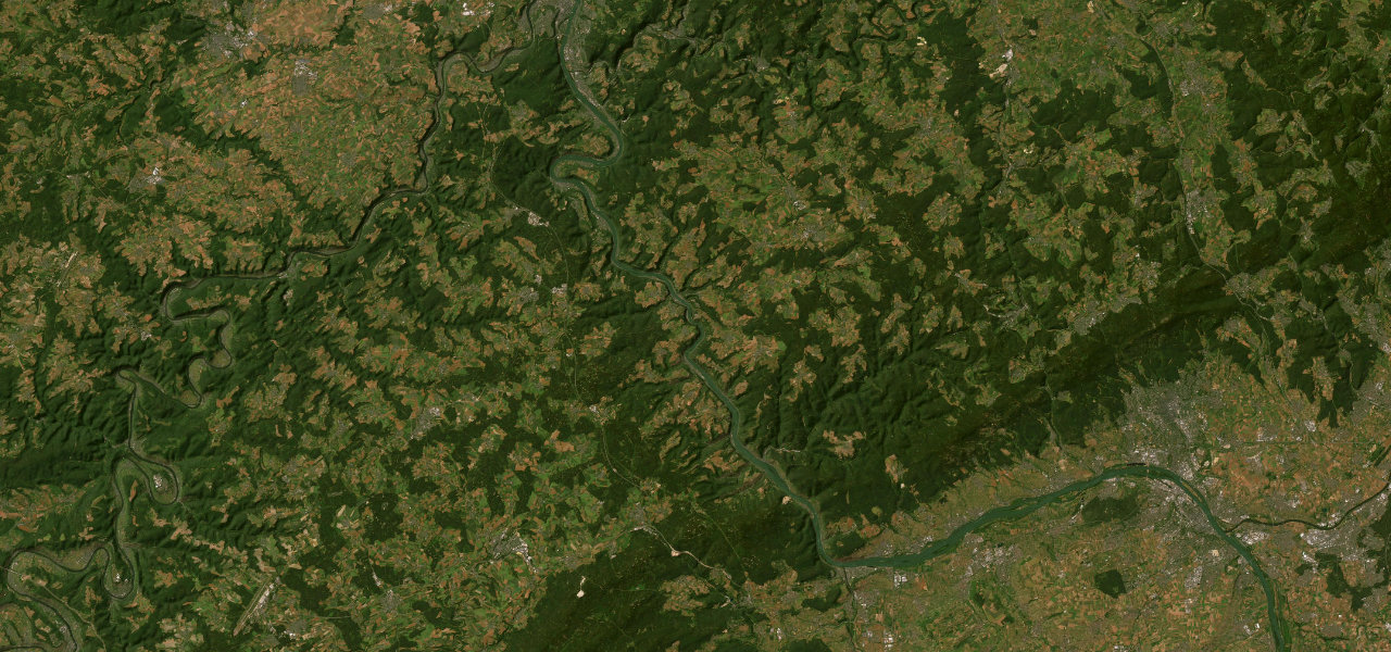
The B9 along the left bank of the Rhine through the UNESCO-listed Upper Middle Rhine Valley, 56 km from Bingen to Koblenz past Bacharach, Oberwesel, St. Goar and Boppard, with a castle on almost every hilltop.
From Bingerbrück the B9 follows the left bank of the Rhine north into the gorge, passing Burg Rheinstein at Trechtingshausen and then Bacharach, whose 12th-century Stahleck Castle is now a youth hostel. Beyond the Kaub ferry, with the Pfalzgrafenstein toll castle on its island in the river, it reaches Oberwesel, midway between Bacharach and St. Goar, then runs opposite the Loreley rock, whose plateau stands 132 m above the water, to St. Goar below the ruins of Rheinfels. After the long bend of the river at Boppard the road continues through Rhens to Koblenz and ends below Stolzenfels, a ruined castle rebuilt as a Gothic Revival palace for the Prussian crown prince. The railway runs beside the road most of the way and car ferries cross to the right bank at several points. The B42 on the opposite bank has been closed at the Loreley since 28 September 2026 after a rockfall, and B9 works with temporary traffic lights around Bacharach are planned to run until the end of 2028.
Scenery
Best seasons
In these collections
Rhine Gorge on the map34.5 mi · point to point
Navigate to the start: Apple Maps · Google Maps
Character
Corners
busiest around mile 32Elevation
under 4%4 to 8%over 8%65 to 115 mPoints of interest5 stops
- Burg RheinsteinCastle near Trechtingshausen, standing directly above the B9.2.5 mi in
- Burg Stahleck12th-century castle above Bacharach, rebuilt in the 20th century and now a youth hostel.8.7 mi in
- Burg PfalzgrafensteinToll castle on Falkenau island in the Rhine off Kaub, in full view from the road.11 mi in
- Burg RheinfelsRuin above St. Goar, once the largest fortress in the Middle Rhine between Koblenz and Mainz.17 mi in
- Schloss StolzenfelsRuined 13th-century castle rebuilt as a Gothic Revival palace for the Prussian crown prince, above the end of the drive.35 mi in
Hazards
- Roadworks with temporary traffic lights at Bacharach until the end of 2028
- Single-lane works from Bacharach to the Kaub ferry, autumn 2026 to spring 2028
- Weekend full closures near Bingerbrück planned for spring 2027
- Rockfall and landslide closures, as between Bacharach and Oberwesel in December 2022
- Busy with tourist and through traffic
See the typical season and live conditions for the high passes ›
Sources
“By car, you have much more flexibility, stopping to tour castles as you go.”
“Am Rhein von Mainz bis Köln durch eine sagenhaft schöne Flusslandschaft, vorbei am Loreley-Felsen und an mehr als 60 Burgen: Die Route der Rheinromantik eignet sich für Touren per Auto, Wohnmobil, Schiff und auf Rad- und Wanderwegen.”
Route traced from OpenStreetMap, with its stats measured from that line. How the roads are mapped
Driving the Rhine Gorge: quick answers
How long does it take to drive the Rhine Gorge?
How difficult is the Rhine Gorge to drive?
When is the best time to drive the Rhine Gorge?
Nearby roads
The closest great drives to Rhine Gorge.