Hunsrück, Rhineland-Palatinate · Germany
Hunsrückhöhenstraße
B327Emmelshausen to Morbach
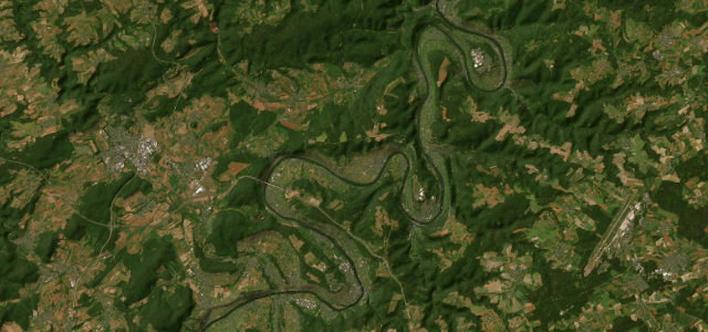
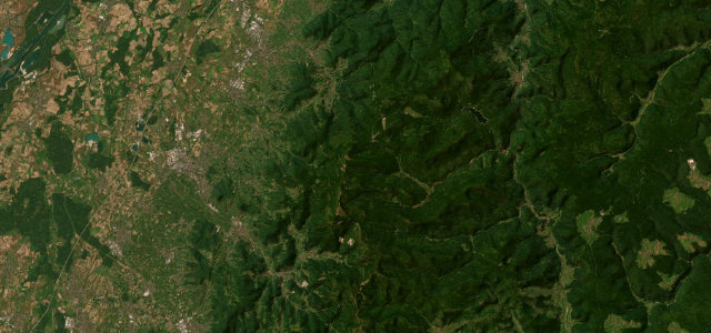
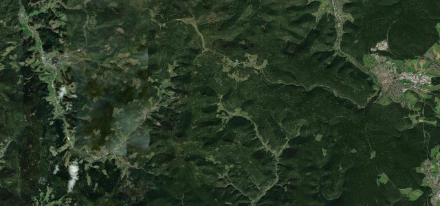
The Hunsrückhöhenstraße is a high ridge road built along the spine of the Hunsrück, fast open running between Emmelshausen, Kastellaun and Morbach with long views across the wooded uplands of the Rhenish slate mountains.
Conceived in 1938-39 as a strategic highland route, the B327 follows the crest of the Hunsrück for much of its length, an unusually straight-and-fast road by German standards that strings together long sweepers and gentle crests with open panoramas over forest and farmland on either side. The renowned stretch runs from Emmelshausen through Kastellaun and on toward Morbach, a roughly fifty-kilometre ridge ride. It is more about flow and far horizons than hairpins, though side roads dropping into the Mosel and Nahe valleys add steeper options. Mind fast-moving overtaking traffic on the long straights, sudden hill-fog and crosswinds on the exposed ridge, and abrupt weather changes at altitude.
Where it runs37.3 mi · point to point
Navigate to the start: Apple Maps · Google Maps
Character
Corners
busiest around mile 29Elevation
under 4%4–8%over 8%365.5 – 601.7 mFrom the road
Points of interest2 stops
- Wagengrab von Bell, Hügelgräberfelder „Fuchshohl“ und „Alter Markt“Landmark14 mi in
- MenhirgruppeLandmark33 mi in
Hazards
- Fast overtaking traffic on long straights
- Hill fog and crosswinds on the exposed ridge
- Sudden weather changes at altitude
Sources
“ein paar Kurven, die sich sehen lassen können – oder vielmehr fahren lassen”
Verified route: mapped from real road geometry and fact-checked by a human editor. How roads get checked
Driving the Hunsrückhöhenstraße: quick answers
How long does it take to drive the Hunsrückhöhenstraße?
How difficult is the Hunsrückhöhenstraße to drive?
When is the best time to drive the Hunsrückhöhenstraße?
Nearby roads
The closest great drives to Hunsrückhöhenstraße.