Vogelsberg & Spessart, Hesse · Germany
Vogelsberg–Spessart Road
B276Laubach (Vogelsberg) to Wächtersbach (Spessart)
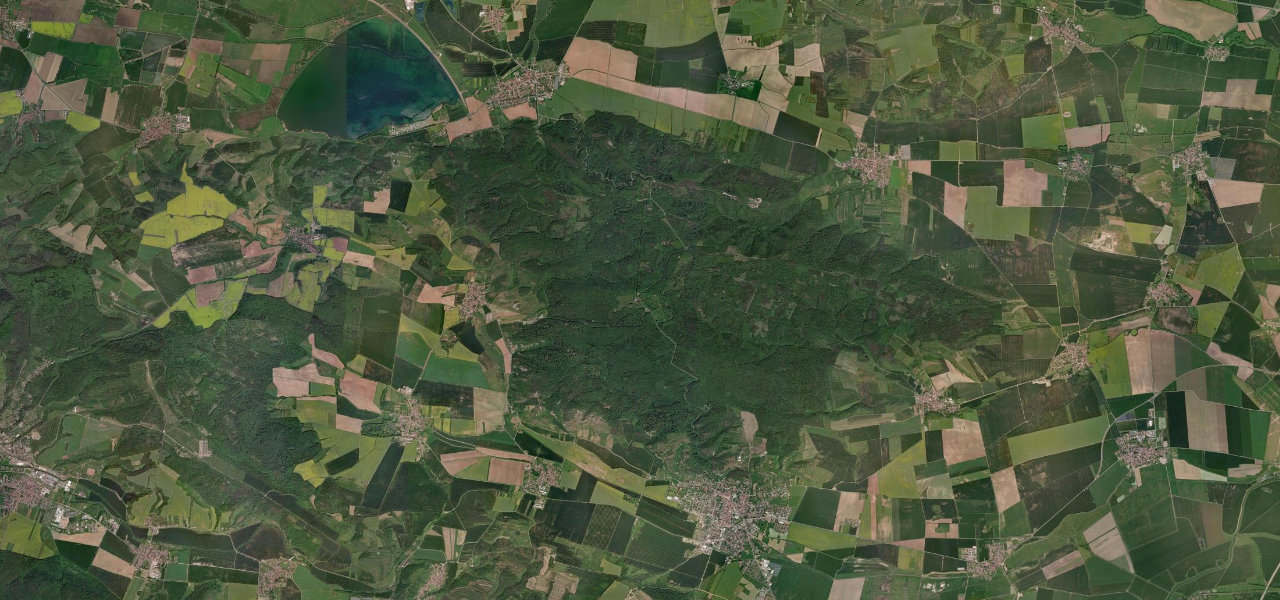
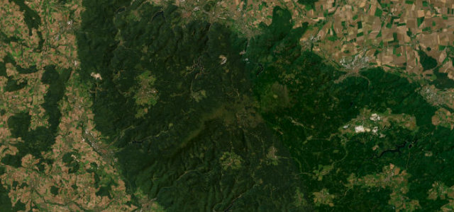
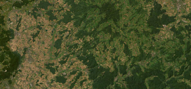
The B276 threads from the Vogelsberg volcano down through lonely woodland into the Spessart, a long forest road whose Laubach-to-Schotten and Schotten-to-Gedern sections are among the best-loved motorcycling stretches in central Germany.
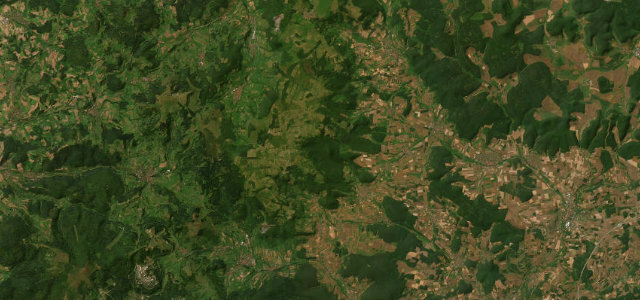
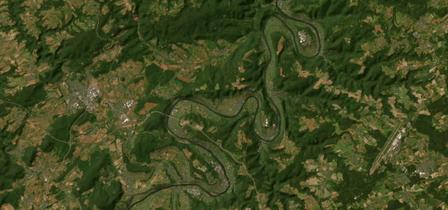
Running roughly 117 kilometres from Mücke in the Vogelsberg to Lohr am Main in the Spessart, the B276 is at its finest where it climbs through the isolated forests around Laubach and Schotten in tight curves, then flows in wide sweeping bends from Schotten toward Gedern. Further south it winds through the deep Spessart woods past Wächtersbach and Frammersbach to the Main. There are no big mountains here, just endless tree-lined two-lane curves and quiet villages, which is exactly why riders flock to it. Pick the famous 40-odd kilometre Vogelsberg segment rather than the whole length. Mind heavy summer-weekend motorcycle traffic, deer and wildlife emerging from the dense forest, and damp leaf litter on shaded bends in autumn.
Where it runs71.6 mi · point to point
Navigate to the start: Apple Maps · Google Maps
Character
Corners
busiest around mile 37Elevation
under 4%4–8%over 8%135.5 – 551.5 mFrom the road
Points of interest4 stops
- Schloss WächtersbachLandmark45 mi in
- Lohrer Schloss (Spessartmuseum)Landmark72 mi in
- LohrtalblickViewpoint70 mi in
- Mittelpunkt HessenLandmark0.4 mi in
Hazards
- Dense motorcycle traffic on summer weekends
- Deer crossing from the forest
- Wet leaf litter on shaded autumn bends
Sources
“Excellent road with loads of twists and turns. In the nature park 'Hoher Vogelsberg'.”
Verified route: mapped from real road geometry and fact-checked by a human editor. How roads get checked
Driving the Vogelsberg–Spessart Road: quick answers
How long does it take to drive the Vogelsberg–Spessart Road?
How difficult is the Vogelsberg–Spessart Road to drive?
When is the best time to drive the Vogelsberg–Spessart Road?
Nearby roads
The closest great drives to Vogelsberg–Spessart Road.