Lower Saxony · Germany
Harzhochstraße
B242Seesen to Oberharz am Brocken
Fast ridge road straddling the spine of the Harz mountains.
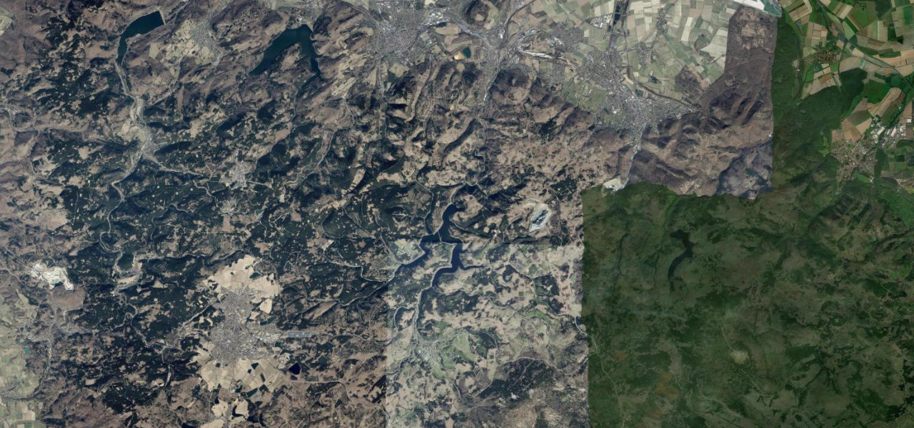
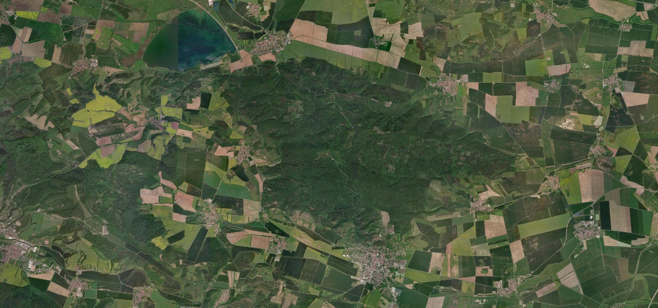
The B242, known as the Harzhochstraße, runs east-west along the high ridge of the Harz, Germany’s northernmost mountains, from Seesen past Clausthal-Zellerfeld and Braunlage toward Hasselfelde. Wide, well-surfaced and reaching about 820 m at the Stieglitzecke, it flows through dense spruce forest with glimpses toward the Brocken. Wildlife, sudden fog and winter snow and ice are real risks, and stretches are signed as motor roads with their own speed rules.
Where it runs42.1 mi · point to point
Navigate to the start: Apple Maps · Google Maps
Character
Corners
busiest around mile 12Elevation
under 4%4–8%over 8%197.2 – 826.5 mFrom the road
Points of interest3 stops
- HübichensteinViewpoint7.1 mi in
- StieglitzeckeViewpoint21 mi in
- Die KlippeViewpoint36 mi in
Hazards
- Deer and wildlife on forested sections
- Sudden hill fog and winter snow/ice
- Long stretches with enforced speed limits
Sources
“it basically turns into a high-speed course with plenty of pretty high-speed, but still safe action”
Verified route: mapped from real road geometry and fact-checked by a human editor. How roads get checked
Driving the Harzhochstraße: quick answers
How long does it take to drive the Harzhochstraße?
How difficult is the Harzhochstraße to drive?
When is the best time to drive the Harzhochstraße?
Nearby roads
The closest great drives to Harzhochstraße.