Harz, Lower Saxony · Germany
Okertalstraße
B 498Oker, Goslar to Altenau
The Harz’s twistiest valley road, cut through a 300 m rock gorge.
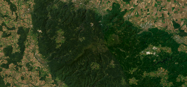
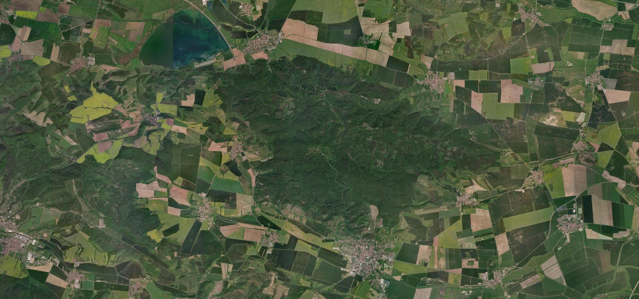
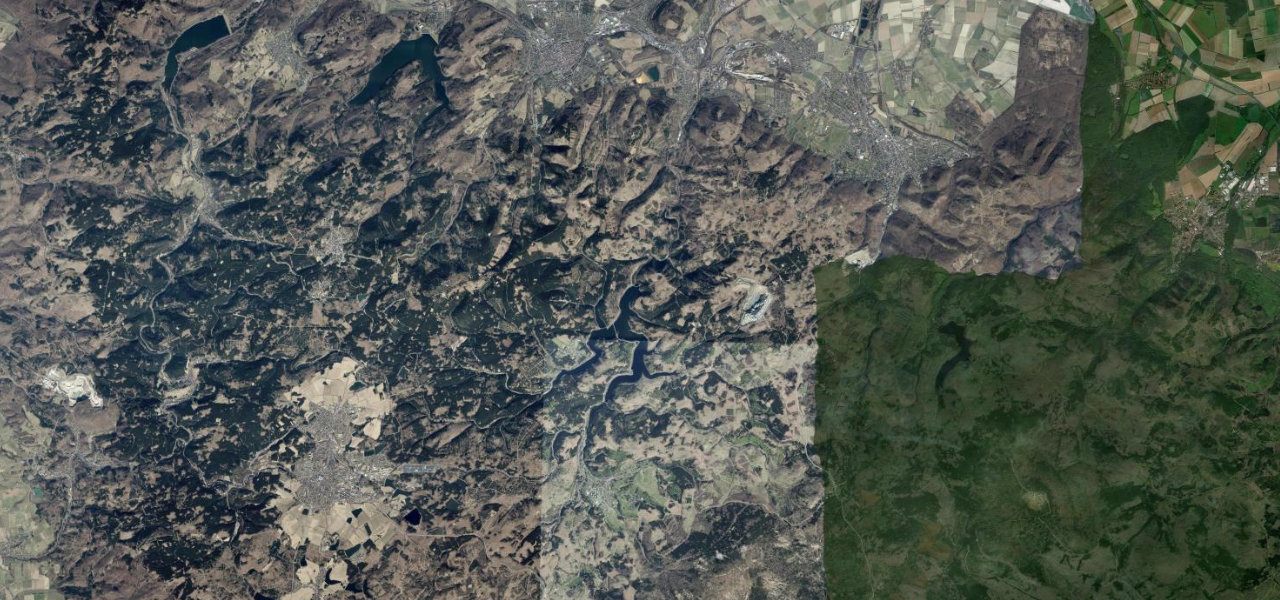
The B498 threads the Okertal, the deepest, most dramatic gorge in the Harz, its walls rising as much as 300 m straight off the river. From the edge of Goslar it climbs beside the water to the great curved dam of the Okertalsperre, then on through the trees to Altenau, a run of tight, rock-walled bends that has made it the region’s favourite biker road. The Romkerhall waterfall pours off the cliff halfway along, the highest in the Harz. Rockfall is a genuine hazard here and the road closes at short notice when the slopes are stabilised, so check before you set off and give the dam car park a wide berth on a sunny Sunday.
Where it runs10.2 mi · point to point
Navigate to the start: Apple Maps · Google Maps
Character
Elevation
under 4%4–8%over 8%208 – 536 mThe strip below the profile is corner density: taller, warmer ticks mean tighter bends.
Points of interest2 stops
- Romkerhaller WasserfallAlong the route4.5 mi in
- Okertalsperre dam wallLandmark4.3 mi in
Hazards
- Rockfall in the gorge, with short-notice closures for slope stabilisation
- Heavy weekend motorcycle traffic and a biker meeting point at the dam car park
- Temporary traffic lights possible during rock-stabilisation works
See the typical season and live conditions for the high passes ›
Verified route: mapped from real road geometry and fact-checked by a human editor. How roads get checked
Driving the Okertalstraße: quick answers
How long does it take to drive the Okertalstraße?
How difficult is the Okertalstraße to drive?
When is the best time to drive the Okertalstraße?
Nearby roads
The closest great drives to Okertalstraße.