Bavaria · Germany
Hochrhönstraße
St 2288Bischofsheim in der Rhön to Fladungen
Open high-plateau panorama road across the Lange Rhön from Bischofsheim to Fladungen.
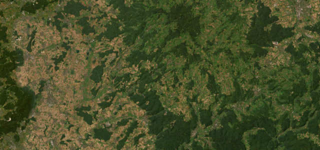
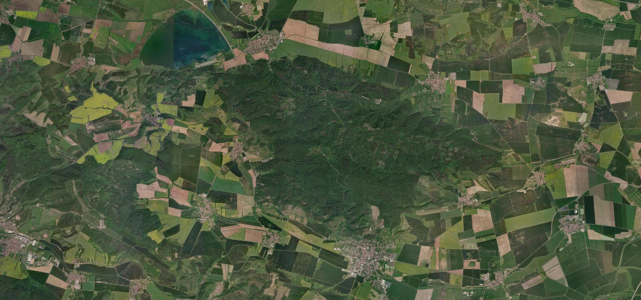
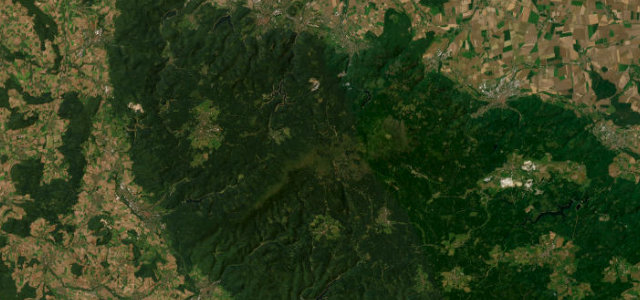
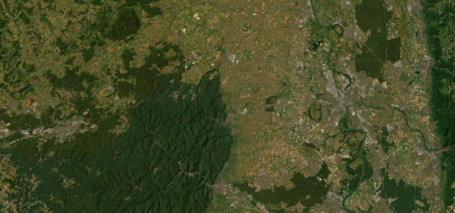
The Hochrhönstraße crosses the treeless Lange Rhön plateau for about 25 km between Bischofsheim and Fladungen, topping out around 840 m with no houses lining the road and wide views over the Grabfeld. It is a flowing panoramic road of gentle rises and sweeping bends through a protected biosphere reserve rather than a technical pass. It is a favourite Rhön motorbike run in fair weather. Mind exposed crosswinds on the open plateau, drifting snow that closes the road in winter, and slow-moving sightseers and cyclists.
Where it runs15.4 mi · point to point
Navigate to the start: Apple Maps · Google Maps
Character
Corners
busiest around mile 1Elevation
under 4%4–8%over 8%418.3 – 847.9 mFrom the road
Points of interest2 stops
- Besucherbergwerk "Braunkohlestollen Einigkeit 1844"Landmark2.5 mi in
- HuckelViewpoint9.2 mi in
Hazards
- Exposed crosswinds on the plateau
- Winter drifting-snow closures
- Slow sightseers and cyclists
See the typical season and live conditions for the high passes ›
Sources
“Landschaftlich ist die Hochrhönstraße sehr reizvoll, da man von ihr sehr schön ins Grabfeld schauen kann.”
Verified route: mapped from real road geometry and fact-checked by a human editor. How roads get checked
Driving the Hochrhönstraße: quick answers
How long does it take to drive the Hochrhönstraße?
How difficult is the Hochrhönstraße to drive?
When is the best time to drive the Hochrhönstraße?
Nearby roads
The closest great drives to Hochrhönstraße.