Kyffhäuser, Thuringia · Germany
Kyffhäuser Bergstraße
B 85Kelbra to Bad Frankenhausen
Germany’s cult hairpin climb, 36 curves in 3.8 km to the Kaiser monument.
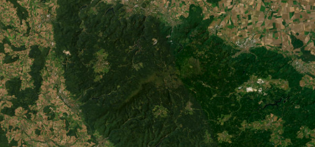
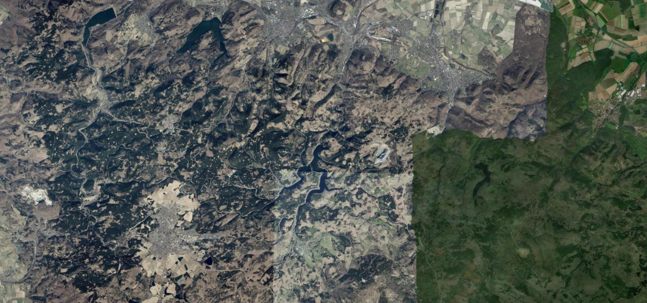
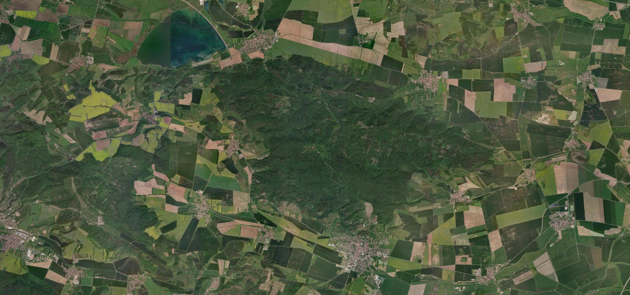
The Kyffhäuser Bergstraße is a piece of motoring folklore hiding in Thuringia: 36 numbered double curves packed into 3.8 km, climbing at an average of 10 per cent out of Kelbra up the wooded flank of the Tannenberg. It was a real hillclimb course, the Kyffhäuser Bergrennen, first run in the early 1950s and revived through the 1980s, and it still draws motorbikes by the hundred on a summer weekend. At the top sits the vast Kaiser Wilhelm monument on the Rothenburg ruins, one of Germany’s grandest. The bends are blind and tight and the speed limit through them was cut hard after too many accidents, so climb it for the rhythm and the history, not the clock.
Scenery
Best seasons
In these collections
Where it runs9.3 mi · point to point
Navigate to the start: Apple Maps · Google Maps
Character
Elevation
under 4%4–8%over 8%129 – 475 mThe strip below the profile is corner density: taller, warmer ticks mean tighter bends.
Points of interest2 stops
- Kyffhäuser MonumentLandmark4.1 mi in
- Panorama Museum Bad FrankenhausenLandmark8.6 mi in
Hazards
- Heavy motorcycle traffic on summer weekends
- Reduced 30 to 50 km/h limit through the hairpins after repeated serious accidents
- Tight blind double hairpins on the forested climb out of Kelbra
Verified route: mapped from real road geometry and fact-checked by a human editor. How roads get checked
Driving the Kyffhäuser Bergstraße: quick answers
How long does it take to drive the Kyffhäuser Bergstraße?
How difficult is the Kyffhäuser Bergstraße to drive?
When is the best time to drive the Kyffhäuser Bergstraße?
Nearby roads
The closest great drives to Kyffhäuser Bergstraße.