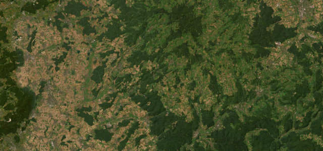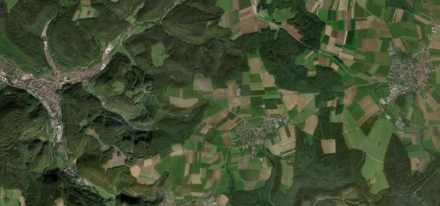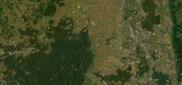
Palatinate, Rhineland-Palatinate · Germany
Deutsche Weinstraße
B271Neustadt an der Weinstraße to Bockenheim an der Weinstraße
Germany’s oldest wine-tourism route, the Deutsche Weinstraße rolls along the warm Haardt edge of the Palatinate Forest from Neustadt north to Bockenheim, a gentle vineyard drive past castles, ruins and village wine taverns rather than a corner-carver.
Established in 1935, the Deutsche Weinstraße runs roughly along the B271 corridor through the Mittelhaardt, with Neustadt an der Weinstraße, Deidesheim, Bad Dürkheim and Grünstadt strung along the sunny foot of the Palatinate Forest before the route ends at the Haus der Deutschen Weinstraße in Bockenheim, a timber-framed building that bridges the road and marks the northern gateway. The driving is easy and flowing, all gentle vineyard contours, ruined castles on the wooded slopes above and a string of postcard wine villages below, best taken slowly. Note that a newer B271 bypass carries the through-traffic, so the scenic spine winds through the villages themselves. Mind dense tourist and cycle traffic in peak season, parked cars and pedestrians crowding the narrow village high streets, and the temptation of roadside wine taverns when you still have to drive.
Where it runs21.1 mi · point to point
Navigate to the start: Apple Maps · Google Maps
Character
Corners
busiest around mile 1Elevation
under 4%4–8%over 8%112.9 – 209.6 mFrom the road
Points of interest3 stops
- Haus der Deutschen WeinstraßeLandmark21 mi in
- Dürkheimer RiesenfassLandmark9.6 mi in
- WachtenburgViewpoint7.7 mi in
Hazards
- Dense tourist and cyclist traffic in season
- Parked cars and pedestrians in narrow village streets
- Roadside wine taverns tempting drivers
Sources
“one of Germany's Most Beautiful Scenic Drives”
Verified route: mapped from real road geometry and fact-checked by a human editor. How roads get checked
Driving the Deutsche Weinstraße: quick answers
How long does it take to drive the Deutsche Weinstraße?
How difficult is the Deutsche Weinstraße to drive?
When is the best time to drive the Deutsche Weinstraße?
Nearby roads
The closest great drives to Deutsche Weinstraße.