Rhineland-Palatinate · Germany
Moselweinstraße
B53Bernkastel-Kues to Zell
Riverside wine road tracing the Mosel’s hairpin loops from Bernkastel-Kues to Zell.
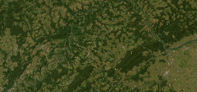
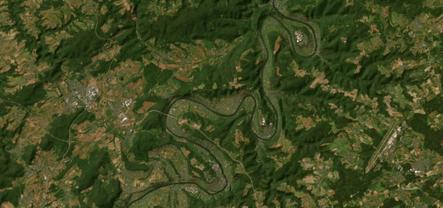
The B53 follows the Mosel through the heart of the wine country, mostly along the left bank, tracing the river’s exaggerated horseshoe meanders past steep slate vineyards, Bernkastel-Kues, Traben-Trarbach and on toward Zell. It is more a flowing, scenic cruise than a technical drive, with long sweeping bends rather than hairpins. The valley is busy with tourists and tractors in season. Mind slow farm and coach traffic, sudden village speed limits, and cyclists on the riverside stretches.
Where it runs22.2 mi · point to point
Navigate to the start: Apple Maps · Google Maps
Character
Corners
busiest around mile 4Elevation
under 4%4–8%over 8%97.1 – 138.6 mFrom the road
Points of interest2 stops
- KaisergartenLandmark5.3 mi in
- ZollturmLandmark16 mi in
Hazards
- Slow farm and coach traffic
- Abrupt village speed limits
- Riverside cyclists
Sources
“The Mosel's meanders are so extreme that the river covers four times the straight-line distance between its mouth and the German border — which means you are never driving in a straight line and never bored.”
Verified route: mapped from real road geometry and fact-checked by a human editor. How roads get checked
Driving the Moselweinstraße: quick answers
How long does it take to drive the Moselweinstraße?
How difficult is the Moselweinstraße to drive?
When is the best time to drive the Moselweinstraße?
Nearby roads
The closest great drives to Moselweinstraße.