Margaret River, Western Australia · Australia
Caves Road
Dunsborough / Busselton to Augusta
A winding tunnel of karri forest and vineyards running the length of the Margaret River wine country between two capes.
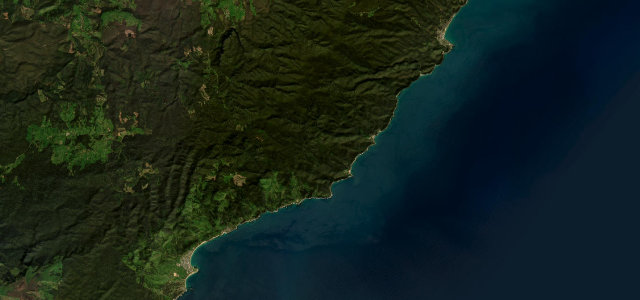
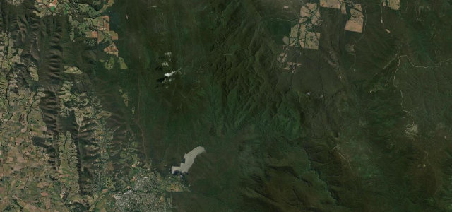
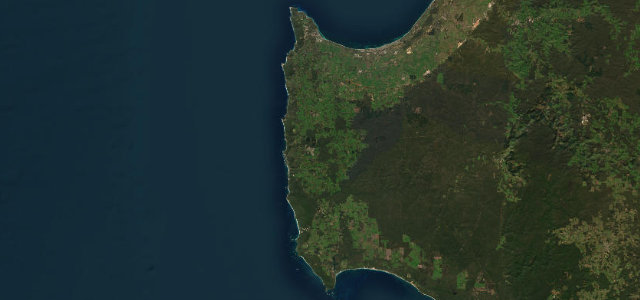
Caves Road runs about 111 km down the limestone ridge of Western Australia’s Capes region, from near Busselton and Dunsborough in the north to Augusta in the south, parallel to but set back from the coast. It threads through tall karri and peppermint forest, rows of vines and rolling paddocks, passing the show caves that give it its name and the turnoffs to Margaret River’s surf beaches and cellar doors. It is a narrow, sinuous touring road rather than a hard climb, best taken slowly with plenty of stops. Mind the narrow forested corners, kangaroos at dawn and dusk, and slow tourist and winery traffic in peak season.
Scenery
Best seasons
In these collections
In these guides
Where it runs57.6 mi · point to point
Navigate to the start: Apple Maps · Google Maps
Character
Corners
busiest around mile 4Elevation
under 4%4–8%over 8%15 – 131.2 mFrom the road
Points of interest3 stops
- Calgardup CaveLandmark35 mi in
- Lake CaveLandmark37 mi in
- Giants CaveLandmark38 mi in
Hazards
- Narrow forested corners
- Kangaroos at dawn and dusk
- Slow tourist and winery traffic
Sources
“It is a narrow winding road in most parts, and much has been made of its picturesque quality and passage through Karri forest.”
Verified route: mapped from real road geometry and fact-checked by a human editor. How roads get checked
Driving the Caves Road: quick answers
How long does it take to drive the Caves Road?
How difficult is the Caves Road to drive?
When is the best time to drive the Caves Road?
Nearby roads
The closest great drives to Caves Road.