Victoria · Australia
Great Ocean Road
B100Lorne to Apollo Bay
The famous 45 km between Lorne and Apollo Bay, built by returned WWI soldiers and squeezed between the Otways and the surf. Beaches, headlands, rainforest gullies and 160 corners, every one of them with someone slowing down for the view.
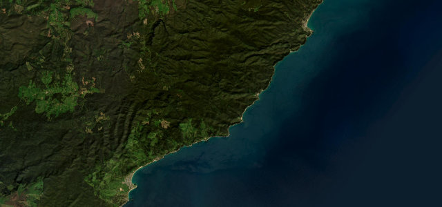
This famous 45 km stretch between Lorne and Apollo Bay hugs the coast below the Otway Ranges, passing Teddy’s Lookout, Wye River and Cape Patton. Built by returned WWI soldiers, the narrow two-lane road threads beaches, headlands and rainforest gullies. Mind the tight blind bends, tour-bus traffic and frequent roadside wildlife.
Cliff-edge bends above the Southern Ocean, then a hush of fern gullies, then Apollo Bay opening up at the end of the run.
Why we picked it
Scenery
Best seasons
In these collections
Where it runs27.5 mi · point to point
Navigate to the start: Apple Maps · Google Maps
Character
Corners
busiest around mile 2Elevation
under 4%4–8%over 8%3.2 – 75.6 mFrom the road
Points of interest2 stops
- Cape Patton LookoutViewpoint17 mi in
- Urquharts FallsViewpoint25 mi in
Hazards
- Blind coastal bends
- Tour-bus and tourist traffic
- Wildlife on road
Sources
“one of the world's most scenic coastal drives”
Verified route: mapped from real road geometry and fact-checked by a human editor. How roads get checked
Driving the Great Ocean Road: quick answers
How long does it take to drive the Great Ocean Road?
How difficult is the Great Ocean Road to drive?
When is the best time to drive the Great Ocean Road?
Nearby roads
The closest great drives to Great Ocean Road.