New South Wales · Australia
Alpine Way
Thredbo to Khancoban
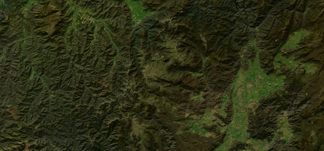
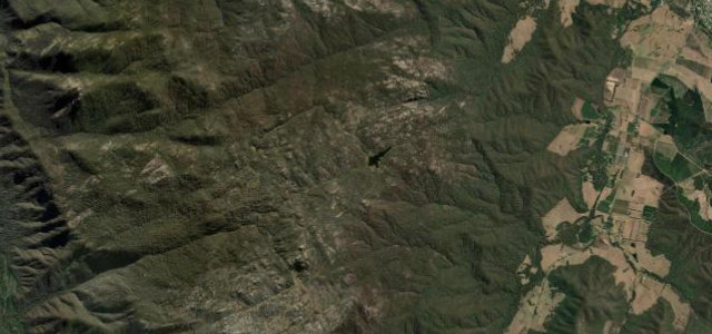
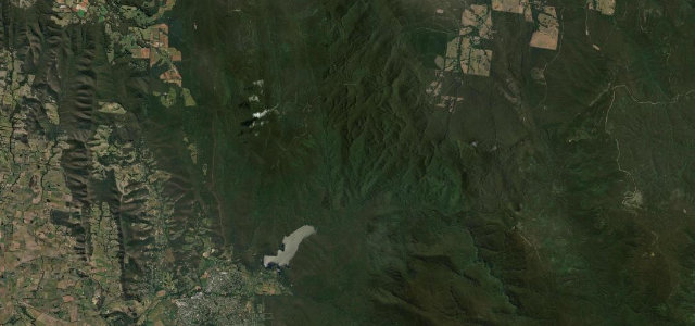
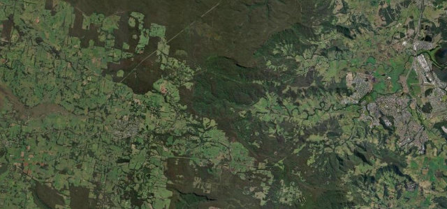
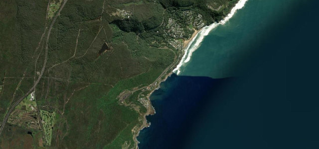
Tall mountain forest beneath the western fall of the Main Range, rising and falling between Thredbo and Khancoban past Tom Groggin and the upper Murray. Sealed only in the 1990s, and in winter chains are compulsory on the Thredbo side.
Between Thredbo and Khancoban the Alpine Way climbs and falls through tall mountain forest beneath the western fall of the Main Range, with snow-capped peaks in view from winter to spring. The narrow, winding 1990s-sealed road passes Tom Groggin and the upper Murray. Mind rockfalls after rain, compulsory winter chains between Thredbo and Tom Groggin, and tight blind curves.
Where it runs46.3 mi · point to point
Navigate to the start: Apple Maps · Google Maps
Character
Corners
busiest around mile 11Elevation
under 4%4–8%over 8%331 – 1,592.6 mFrom the road
Points of interest3 stops
- Pilot View LookoutViewpoint5.9 mi in
- Scammells Ridge LookoutViewpoint34 mi in
- Murray 1 Power Station Viewing PointViewpoint41 mi in
Hazards
- Rockfalls after rain
- Compulsory winter snow chains
- Tight blind curves
Sources
“The drive winds its way across the back of rugged mountain ranges offering panoramic views as far as the eye can see.”
Verified route: mapped from real road geometry and fact-checked by a human editor. How roads get checked
Driving the Alpine Way: quick answers
How long does it take to drive the Alpine Way?
How difficult is the Alpine Way to drive?
When is the best time to drive the Alpine Way?
Nearby roads
The closest great drives to Alpine Way.