New South Wales · Australia
Macquarie Pass
A48Albion Park to Robertson
Steep, tight hairpin climb of the Illawarra escarpment between Albion Park and Robertson.
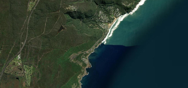
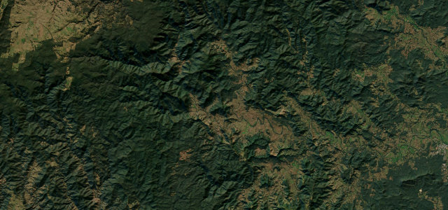
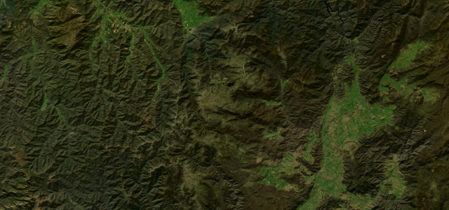
Macquarie Pass is the escarpment section of the Illawarra Highway, climbing from Albion Park near the coast up through rainforest to Robertson in the Southern Highlands. The pass packs steep grades and several genuine hairpins into a short distance, with single-lane pinch points where buses and trucks sometimes have to shuffle. It is a long-standing favourite with drivers and motorcyclists despite its accident reputation. Mind the tight hairpin bends, slippery rainforest surface and rockfall, and oncoming vehicles taking the centre line on blind curves.
Scenery
Best seasons
In these collections
In these guides
Where it runs17.7 mi · point to point
Navigate to the start: Apple Maps · Google Maps
Character
Corners
busiest around mile 6Elevation
under 4%4–8%over 8%15 – 811.8 mFrom the road
Points of interest3 stops
- Macquarie PassViewpoint10 mi in
- Cascade FallsLandmark6.5 mi in
- Mount MurrayViewpoint11 mi in
Hazards
- Tight hairpin bends
- Slippery rainforest surface
- Blind-corner oncoming traffic
- Rockfall
Sources
“The road is very steep (hitting a 9.9% maximum gradient through some of the ramps) and contains a large number of hairpin bends.”
Verified route: mapped from real road geometry and fact-checked by a human editor. How roads get checked
Driving the Macquarie Pass: quick answers
How long does it take to drive the Macquarie Pass?
How difficult is the Macquarie Pass to drive?
When is the best time to drive the Macquarie Pass?
Nearby roads
The closest great drives to Macquarie Pass.