New South Wales · Australia
Oxley Highway
B56Wauchope to Walcha
Australia’s iconic motorcycling road, hundreds of corners from Wauchope up to Walcha.
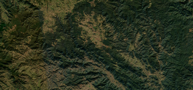
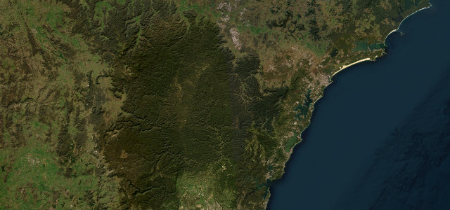
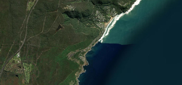
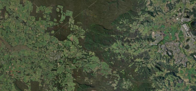
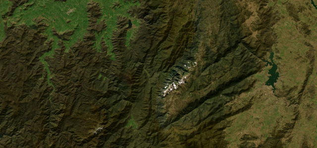
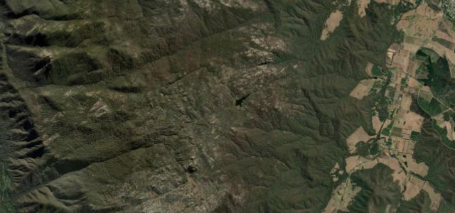
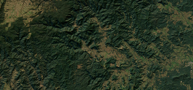
The Oxley Highway runs inland from Wauchope near the coast, climbs the escarpment in a celebrated run of tight forested switchbacks, then opens onto sweeping high-country curves toward Walcha. The Wauchope-to-Walcha section is often called Australia’s best motorcycling road, packing in well over 300 corners across rainforest and open farmland. It is fully sealed but demanding and heavily ridden on weekends. Mind the relentless tight bends, motorcycle traffic and reduced speed-zone enforcement, and fog or frost on the high tableland.
Scenery
Best seasons
In these collections
Where it runs60.4 mi · point to point
Navigate to the start: Apple Maps · Google Maps
Character
Corners
busiest around mile 43Elevation
under 4%4–8%over 8%24.8 – 1,190.4 mFrom the road
Points of interest1 stop
- Ralfes PeakViewpoint36 mi in
Hazards
- Relentless tight bends
- Heavy motorcycle traffic
- High-country fog and frost
Sources
“There are few thrills greater than conquering a challenging set of corners and the Oxley provides you with a few hundred”
Verified route: mapped from real road geometry and fact-checked by a human editor. How roads get checked
Driving the Oxley Highway: quick answers
How long does it take to drive the Oxley Highway?
How difficult is the Oxley Highway to drive?
When is the best time to drive the Oxley Highway?
Nearby roads
The closest great drives to Oxley Highway.