New South Wales · Australia
Putty Road
Windsor to Singleton
Legendary 168 km biker run from Wilberforce to Singleton through forest and the Hunter hills.
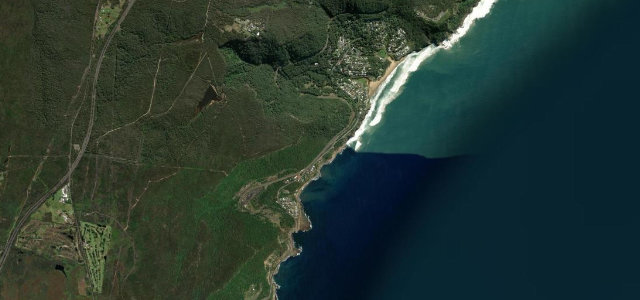
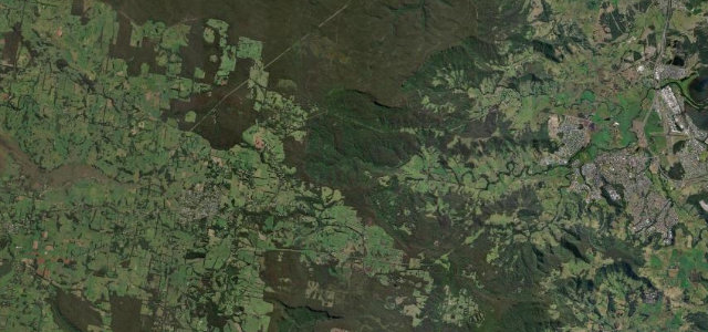
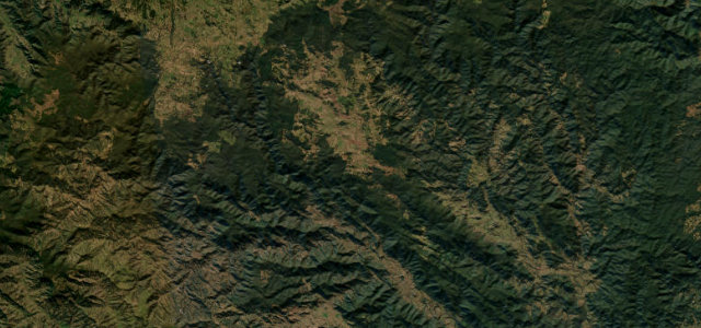
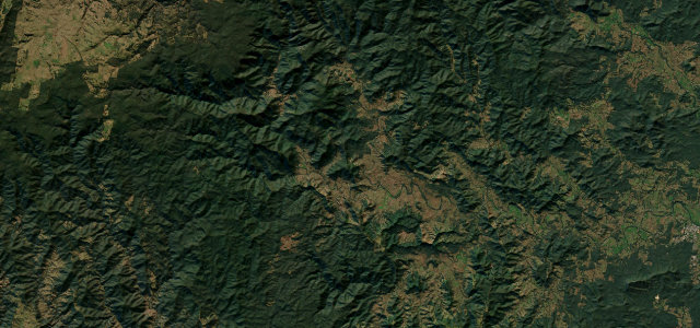
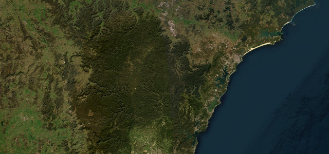
Putty Road links historic Windsor on Sydney’s fringe to Singleton in the Hunter Valley, threading roughly 160 km of forest and ridgeline between the two. It blends fast open sweepers with knots of tighter corners at each end, and the Grey Gum Cafe at the halfway point is an almost obligatory rider stop. The road is sealed throughout but undulating and remote in long stretches. Mind the heavy weekend motorcycle and enthusiast traffic, wildlife and stray livestock, and long sections with no fuel or phone signal.
Scenery
Best seasons
In these collections
In these guides
Where it runs105.6 mi · point to point
Navigate to the start: Apple Maps · Google Maps
Character
Corners
busiest around mile 17Elevation
under 4%4–8%over 8%1.3 – 275.8 mFrom the road
Points of interest2 stops
- Mount SimpsonLandmark58 mi in
- Thompsons Bridge Convict TrailLandmark63 mi in
Hazards
- Heavy weekend bike traffic
- Wildlife and livestock
- Long stretches with no fuel
Sources
“Putty Road is one of the most satisfying routes in the area for motorcyclists, offering spectacular bends, exciting corners, and high-speed stretches.”
Verified route: mapped from real road geometry and fact-checked by a human editor. How roads get checked
Driving the Putty Road: quick answers
How long does it take to drive the Putty Road?
How difficult is the Putty Road to drive?
When is the best time to drive the Putty Road?
Nearby roads
The closest great drives to Putty Road.