New South Wales · Australia
Waterfall Way
B78Armidale to Bellingen
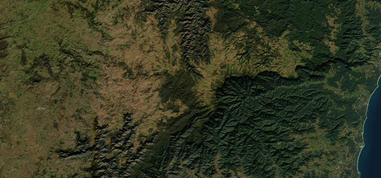
Waterfall Way runs 151 km from Armidale across the tableland to Ebor Falls and Dorrigo, then drops down the rainforest escarpment through Dorrigo National Park to Bellingen on a steep, winding road.
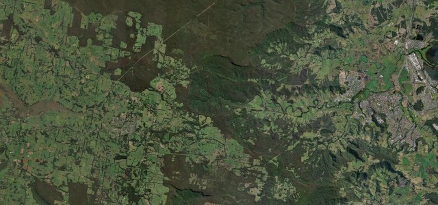
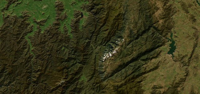
Waterfall Way starts on the eastern edge of Armidale as Grafton Road and crosses the New England tableland, passing the Wollomombi turn-off about 38 km in. Between Wollomombi and Ebor it runs through Cathedral Rock National Park, and at Ebor, 76 km from the start, Ebor Falls are a few minutes’ walk from the car park. The road runs on to Dorrigo, 123 km in, and then winds steeply down through the rainforest of Dorrigo National Park, with Crystal Shower, Sherrard and Newell Falls close to the descent. Wikivoyage describes the road as sealed but relatively narrow, with a steep, 14 km winding section west of Thora, 138 km from the start, and notes that overtaking is limited on the Dorrigo Range. From Thora the road follows the Bellinger valley to Bellingen. A landslip at Gordonville Cutting between Bellingen and Dorrigo on 19 January 2026 closed the road for two months, and it now runs as a single lane under traffic signals while repairs continue.
Scenery
Best seasons
In these collections
Waterfall Way on the map94.0 mi · point to point
Navigate to the start: Apple Maps · Google Maps
Character
Corners
busiest around mile 80Elevation
under 4%4 to 8%over 8%8 to 1,371 mPoints of interest5 stops
- Ebor FallsTwo waterfalls and a walk along the escarpment edge, a few minutes from the car park.47 mi in
- Dorrigo Visitor Information CentreVisitor information in the centre of Dorrigo, at the top of the descent.76 mi in
- Crystal Shower FallsWaterfall in Dorrigo National Park that Visit NSW lists as one of the park’s highlights.80 mi in
- Newell Falls Rest AreaRoadside rest area beside Newell Falls on the descent through Dorrigo National Park.82 mi in
- Waterfall Way Visitor Information CentreVisitor information in Bellingen, just past the end of this section.94 mi in
Hazards
- Gordonville Cutting landslip: one lane under traffic signals at 40 km/h, repairs under way, closures possible
- Can close at very short notice in heavy rain, with light vehicles diverted via Summervilles Road
- Narrow road with limited overtaking on the Dorrigo Range
- Kangaroos on the road, particularly around dusk
See the typical season and live conditions for the high passes ›
Sources
“These containers are a temporary fix only and the road may need to close at very short notice in response to actual or forecast heavy rain or further movement of soil and/or rocks along the route.”
“The road winds steeply through the lush rainforest of Dorrigo National Park to a height of 750 metres at Dorrigo Mountain.”
“The road is sealed but relatively narrow and has a steep, 14-km winding section west of Thora.”
Route traced from OpenStreetMap, with its stats measured from that line. How the roads are mapped
Driving the Waterfall Way: quick answers
How long does it take to drive the Waterfall Way?
How difficult is the Waterfall Way to drive?
When is the best time to drive the Waterfall Way?
Nearby roads
The closest great drives to Waterfall Way.