New South Wales · Australia
Thunderbolts Way
Gloucester to Walcha
Hairpin escarpment climb from Gloucester to Walcha over the Great Dividing Range.
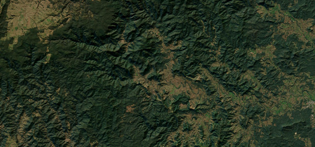
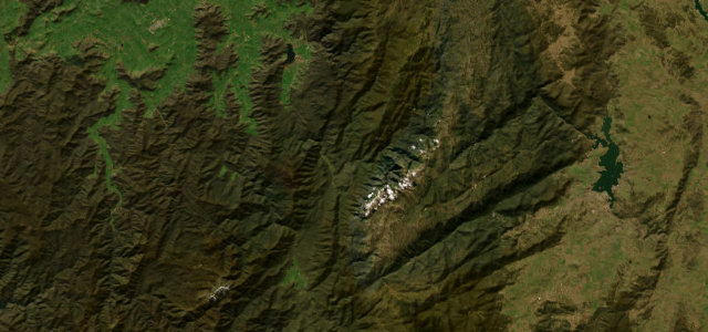
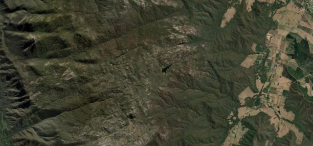
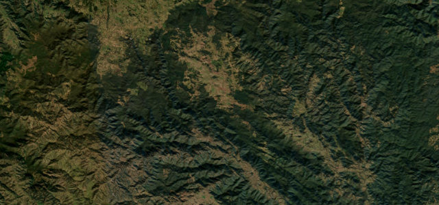
Thunderbolts Way, named after the bushranger Captain Thunderbolt, climbs from the river town of Gloucester across the Great Dividing Range to Walcha on the New England tableland. The Gloucester-to-Walcha leg runs roughly 150 km and gains over a thousand metres, mixing tight hairpins on the steep escarpment face with open sweepers across high tableland country. It is sealed but lightly trafficked and remote, popular with touring drivers and riders. Mind the steep tight hairpins on the climb, occasional rough and patched surface, and livestock and fog on the high plateau.
Scenery
Best seasons
In these collections
Where it runs91.3 mi · point to point
Navigate to the start: Apple Maps · Google Maps
Character
Corners
busiest around mile 27Elevation
under 4%4–8%over 8%91.5 – 1,330.8 mFrom the road
Points of interest1 stop
- Carson Pioneer LookoutViewpoint34 mi in
Hazards
- Steep tight hairpins
- Rough patched surface
- Livestock and high-country fog
Sources
“The drive is very scenic and provides spectacular views around every bend.”
Verified route: mapped from real road geometry and fact-checked by a human editor. How roads get checked
Driving the Thunderbolts Way: quick answers
How long does it take to drive the Thunderbolts Way?
How difficult is the Thunderbolts Way to drive?
When is the best time to drive the Thunderbolts Way?
Nearby roads
The closest great drives to Thunderbolts Way.