Victoria · Australia
Black Spur Drive
B360Healesville to Narbethong
Winding forest road beneath towering mountain ash.
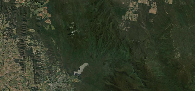
This section of the Maroondah Highway runs about 28 km between Healesville and Narbethong through Yarra Ranges forest of giant mountain ash and tree ferns. Tight twin-apex curves curl beneath a dense, shaded canopy popular with drivers and cyclists. Mind damp shaded asphalt, cyclists on the bends, and wildlife at dawn and dusk.
Where it runs14.0 mi · point to point
HealesvilleStart · Victoria
NarbethongEnd · Victoria
Navigate to the start: Apple Maps · Google Maps
Character
Corners90bends
Tightness7of 10
Max gradient8%≈ 1-in-13
Climb610 mtotal ascent
Summit549.6 mhighest point of the line · 1,803 ft
Corners
busiest around mile 3Elevation
under 4%4–8%over 8%109.6 – 549.6 mFrom the road
Points of interest2 stops
- Selover’s LookoutViewpoint1.8 mi in
- Dom Dom SaddleViewpoint9.6 mi in
Hazards
- Damp shaded road surface
- Cyclists on curves
- Wildlife at dawn and dusk
Sources
“If the road is in good condition and the traffic is light this can be an absolute blast.”
Verified route: mapped from real road geometry and fact-checked by a human editor. How roads get checked
Driving the Black Spur Drive: quick answers
How long does it take to drive the Black Spur Drive?
Black Spur Drive runs 14.0 miles (23 km) and takes about 31 min to drive without stops.
How difficult is the Black Spur Drive to drive?
We rate it moderate: 90 corners, a maximum gradient of 8%, and a tightness of 7 out of 10.
When is the best time to drive the Black Spur Drive?
Spring and Summer and Autumn are best.
Nearby roads
The closest great drives to Black Spur Drive.
Black Spur Drive
DirectionsGet the app