Tasmania · Australia
Lyell Highway
A10Queenstown to Derwent Bridge
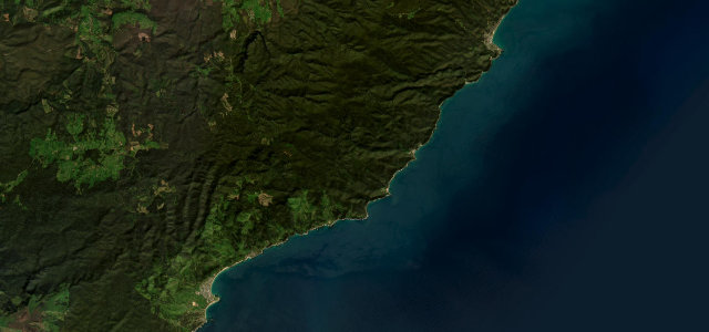
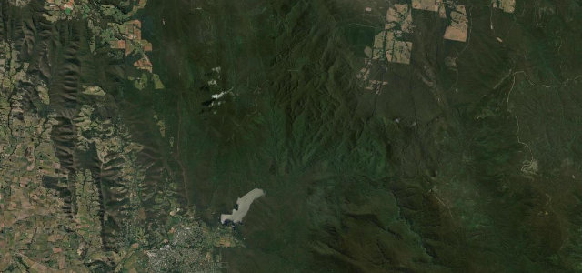
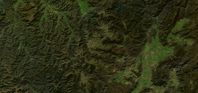
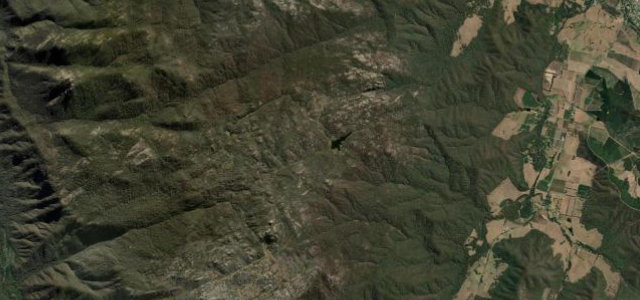
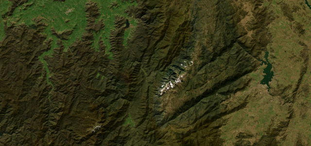
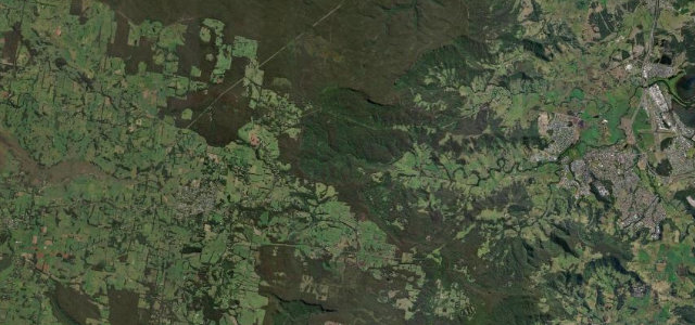
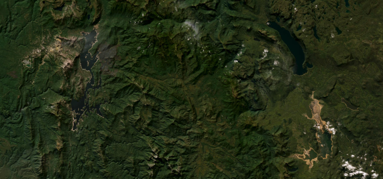
A wilderness spine across western Tasmania, climbing out of the copper-scarred hills of Queenstown through temperate rainforest and button-grass plains into the Franklin-Gordon Wild Rivers World Heritage Area.
The Lyell Highway leaves the lunar, mining-stripped slopes above Queenstown on a sequence of tight climbs, then strikes east across some of the emptiest country in Australia. It threads rainforest gorges along the Franklin and Surprise rivers, crosses open alpine moorland beneath the peaks of the Wild Rivers National Park, and runs for long stretches with no habitation at all before reaching Derwent Bridge near Lake St Clair. Remote, wet and wild.
Scenery
Where it runs
Navigate to the start: Apple Maps · Google Maps
Character
Elevation
under 4%4–8%over 8%140 – 820 mPoints of interest
- Surprise ValleyViewpoint
- Victoria PassViewpoint
- The Wall in the WildernessLandmark
Hazards
- Sudden weather and dense fog on the highland sections
- Wildlife on the road, especially at dawn and dusk
- Long stretches with no fuel or services
- Wet, slippery surface under frequent rain
Sources: Road geometry © OpenStreetMap contributors
Nearby roads
The closest great drives to Lyell Highway.