Southwest, Tasmania · Australia
Gordon River Road
B61Maydena to Strathgordon
Tasmania’s hydro road, 53 empty miles into the Southwest wilderness.
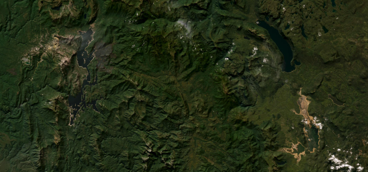
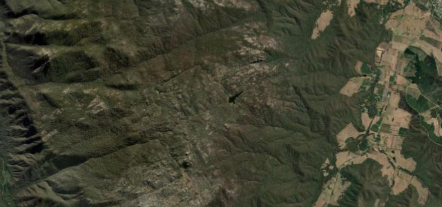
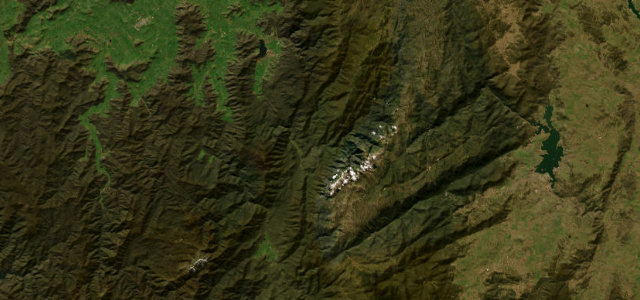
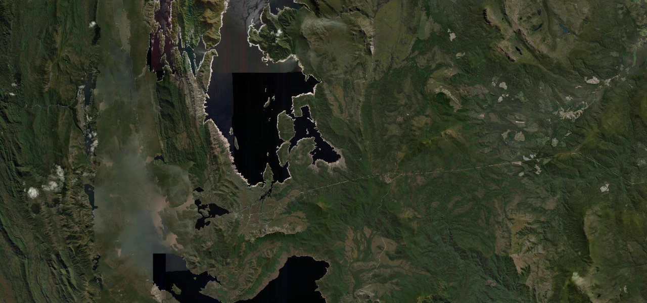
The Gordon River Road exists because of a dam: the Hydro-Electric Commission drove it into Tasmania’s roadless Southwest from 1964, and the flooding of Lake Pedder behind it became one of Australia’s defining conservation battles. What is left is a gift to drivers: 53 miles of smooth, empty sweepers from Maydena along the Sentinel Range, wilderness on both sides, ending at the 140 m concrete arc of the Gordon Dam, where a lookout stares straight down the wall. There are no services beyond the start, so fill up at Westerway; watch for ice on the high sections in winter, wildlife at dawn and dusk, and log trucks near Maydena.
Scenery
Best seasons
In these collections
Where it runs51.7 mi · point to point
Navigate to the start: Apple Maps · Google Maps
Character
Elevation
under 4%4–8%over 8%261 – 653 mThe strip below the profile is corner density: taller, warmer ticks mean tighter bends.
Points of interest3 stops
- White Spur LookoutViewpoint45 mi in
- Gordon Dam LookoutViewpoint52 mi in
- Gordon DamLandmark52 mi in
Hazards
- No fuel beyond the Westerway Roadhouse, fill up before Maydena
- Frost, ice and snow on the higher sections in winter
- Wildlife on the road at dawn and dusk
- Log trucks around Maydena on weekdays
Verified route: mapped from real road geometry and fact-checked by a human editor. How roads get checked
Driving the Gordon River Road: quick answers
How long does it take to drive the Gordon River Road?
How difficult is the Gordon River Road to drive?
When is the best time to drive the Gordon River Road?
Nearby roads
The closest great drives to Gordon River Road.