Chianti, Tuscany · Italy
Strada Chiantigiana
SR222Strada in Chianti to Castellina in Chianti
Tuscany’s wine road, Greve to Castellina through the Chianti hills.
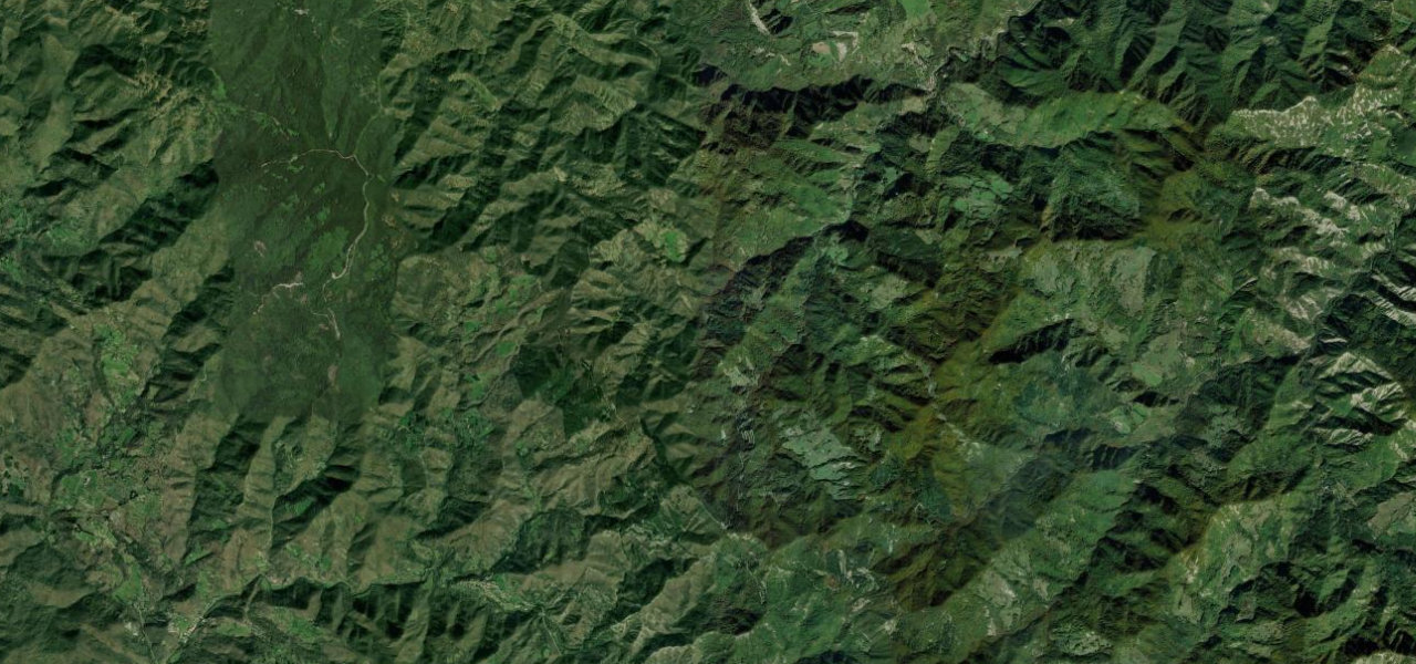
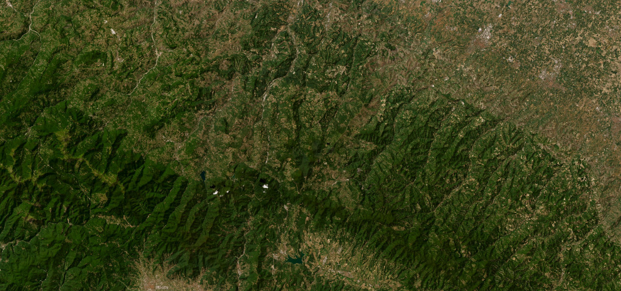
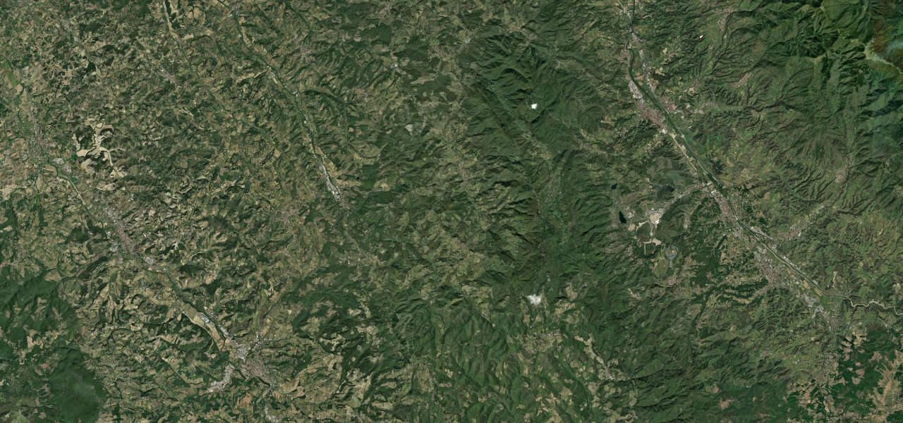
The old SS222 out of Strada in Chianti is the road everyone pictures when they picture Tuscany: cypress avenues, ridgeline vineyards and hilltop villages strung along the Greve valley. It rolls through Greve’s arcaded Piazza Matteotti, climbs to Panzano above the Conca d’Oro amphitheatre of vines, then swings and dips to the medieval tower of Castellina in Chianti at 578 m. The surface is good and the rhythm is lovely; watch for tour coaches in harvest season, cyclists all year, and gravel dragged onto the bends where the white strade bianche join.
Where it runs18.4 mi · point to point
Navigate to the start: Apple Maps · Google Maps
Character
Elevation
under 4%4–8%over 8%209 – 591 mThe strip below the profile is corner density: taller, warmer ticks mean tighter bends.
Points of interest3 stops
- Piazza Matteotti, Greve in ChiantiLandmark6.7 mi in
- Antica Macelleria Cecchini, PanzanoFood and drink11 mi in
- Castellina in ChiantiLandmark18 mi in
Hazards
- Tour buses and heavy tourist traffic in summer and harvest
- Cyclists in numbers all year round
- L'Eroica vintage cycling weekend closes the road to racing in early October
- Gravel on bends where the white roads join
See the typical season and live conditions for the high passes ›
Verified route: mapped from real road geometry and fact-checked by a human editor. How roads get checked
Driving the Strada Chiantigiana: quick answers
How long does it take to drive the Strada Chiantigiana?
How difficult is the Strada Chiantigiana to drive?
When is the best time to drive the Strada Chiantigiana?
Nearby roads
The closest great drives to Strada Chiantigiana.