Gran Sasso, Abruzzo · Italy
Campo Imperatore
SS17bisFonte Cerreto to Campo Imperatore
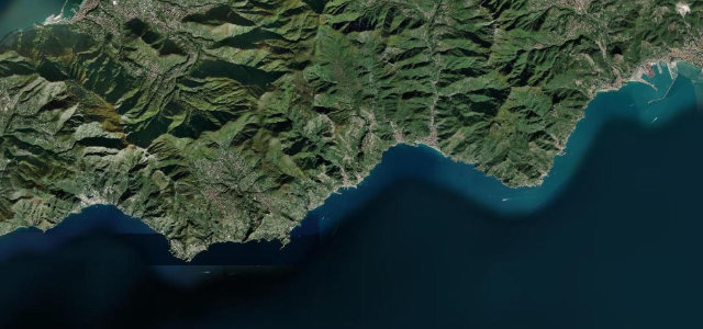
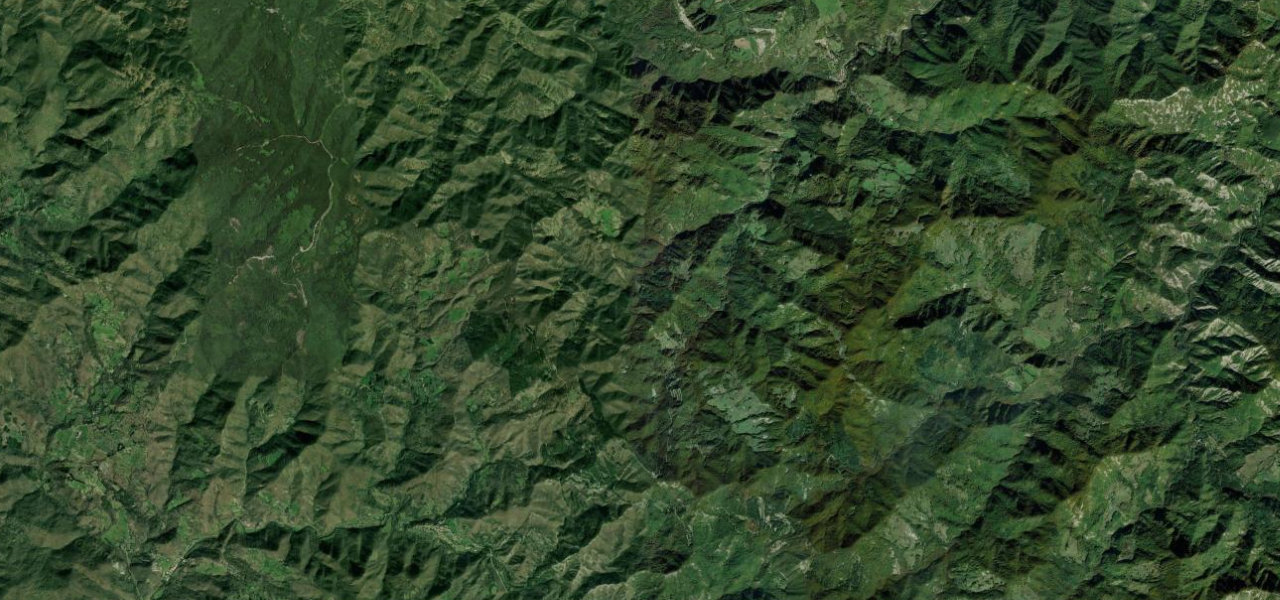
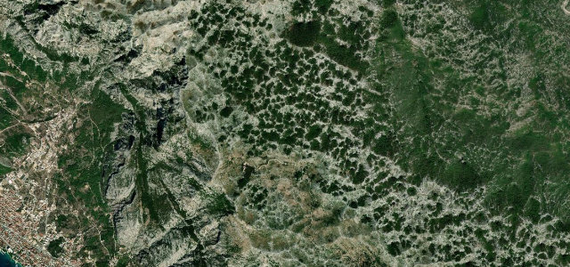
The SS17bis climbs from the Gran Sasso cable-car base to the vast Campo Imperatore plateau, a treeless karst upland over 2,000 m that earned Italy’s 'Little Tibet' nickname, with wide sweepers and uninterrupted views across Abruzzo.
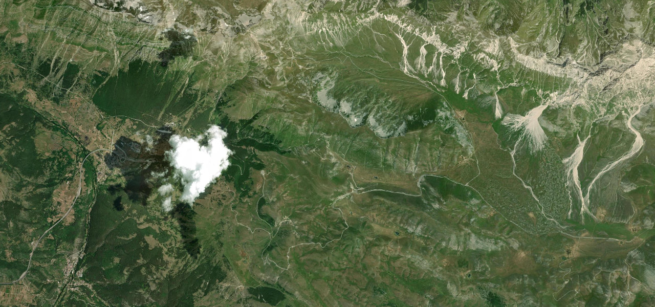
From Fonte Cerreto (1,115 m) the road climbs steadily through open scrubland with views back toward L’Aquila, a consistent gradient with long arcing bends. At the top, Campo Imperatore opens into a vast plateau ringed by peaks above 2,400 m, marked by the observatory and the hotel where Mussolini was briefly imprisoned. Extend north via Castel del Monte across the plateau.
Scenery
Where it runs
Navigate to the start: Apple Maps · Google Maps
Character
Elevation
under 4%4–8%over 8%1,134 – 2,126 mPoints of interest
- Valico di Monte CristoViewpoint
- Colle del MaccioneViewpoint
- Monte Fanni BianchiViewpoint
Hazards
- Snow and ice October to May
- Wildlife on the plateau
- Sudden fog
- Limited fuel above Assergi
Sources: Road geometry © OpenStreetMap contributors
Nearby roads
The closest great drives to Campo Imperatore.