Lika-Senj County · Croatia
Adriatic Highway Velebit Coast
D8Senj to Općina Karlobag
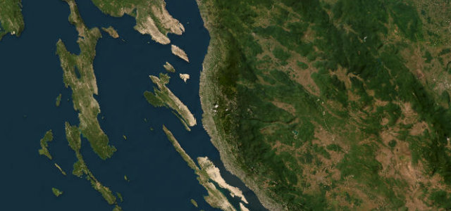
Cliff-carved coastal road below the Velebit slopes.
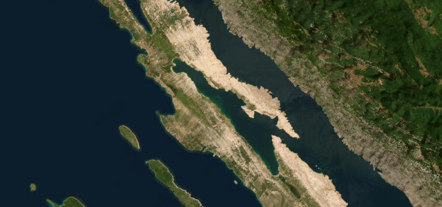
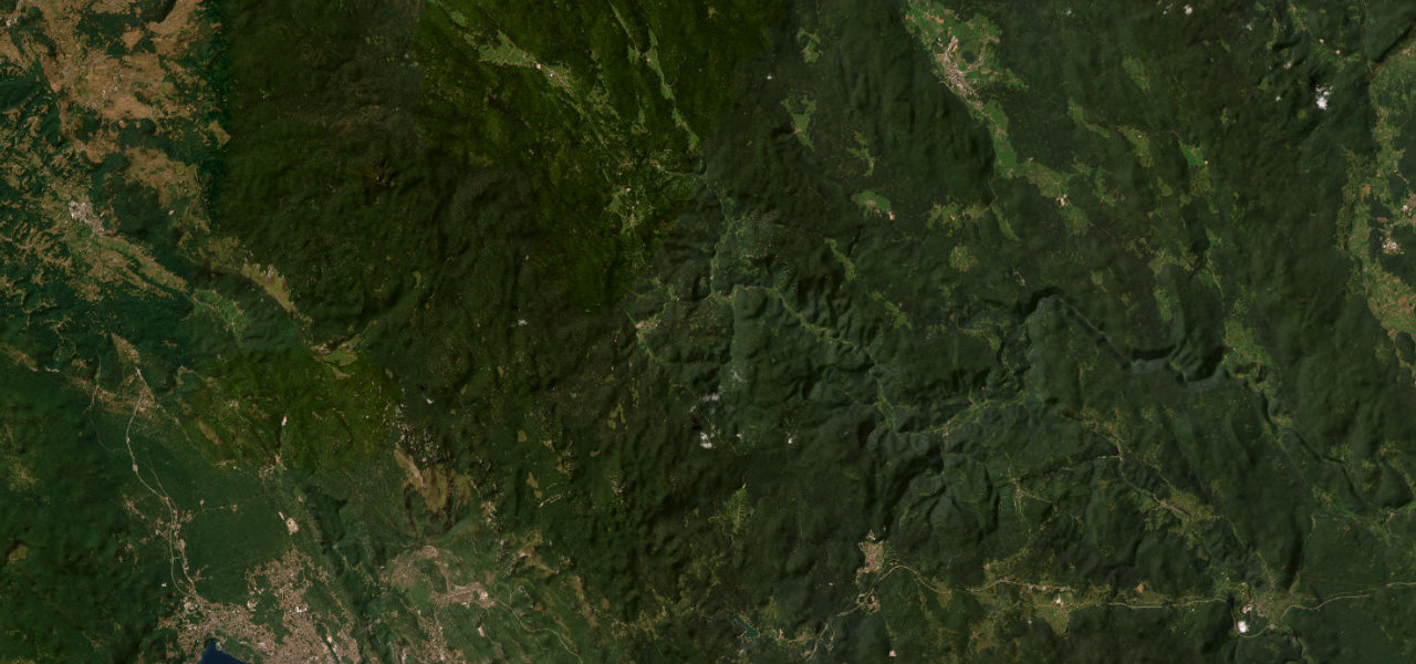
The Senj to Karlobag stretch of the Jadranska magistrala is the most acclaimed section of Croatia’s D8 coastal highway, where the bare Velebit massif drops almost vertically into the Adriatic and the road is partly cut into the rock face. It strings together sea views, bays and offshore islands along serpentine curves perched above the water. Mind the strong bura crosswinds, exposed drops and summer tourist traffic.
Scenery
CoastMountain
Best seasons
SpringSummerAutumn
In these collections
In these guides
Where it runs39.6 mi · point to point
SenjStart · Lika-Senj County
Općina KarlobagEnd · Lika-Senj County
Navigate to the start: Apple Maps · Google Maps
Character
Corners60bends
Tightness5of 10
Max gradient8%≈ 1-in-13
Climb949 mtotal ascent
Summit366 mhighest point of the line · 1,201 ft
Corners
busiest around mile 2Elevation
under 4%4–8%over 8%-1.1 – 366 mFrom the road
Points of interest3 stops
- KalvarijaViewpoint6.0 mi in
- Kaličina glavaViewpoint12 mi in
- BunarićViewpoint11 mi in
Hazards
- Sudden bura crosswinds
- Exposed cliff drops
- Heavy summer traffic
Sources
“Offering beautiful landscapes and a breathtaking coastal panorama, it has to be seen to be believed.”
Verified route: mapped from real road geometry and fact-checked by a human editor. How roads get checked
Driving the Adriatic Highway Velebit Coast: quick answers
How long does it take to drive the Adriatic Highway Velebit Coast?
Adriatic Highway Velebit Coast runs 39.6 miles (64 km) and takes about 1 h 19 min to drive without stops.
How difficult is the Adriatic Highway Velebit Coast to drive?
We rate it moderate: 60 corners, a maximum gradient of 8%, and a tightness of 5 out of 10.
When is the best time to drive the Adriatic Highway Velebit Coast?
Spring and Summer and Autumn are best.
Nearby roads
The closest great drives to Adriatic Highway Velebit Coast.


Adriatic Highway Velebit Coast
DirectionsGet the app