Lika-Senj County · Croatia
Plitvice Pogledalo Pass
D52Otočac to Vrelo Koreničko
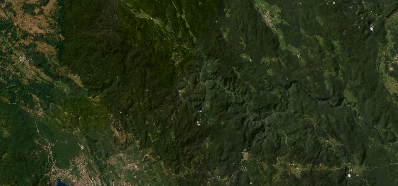
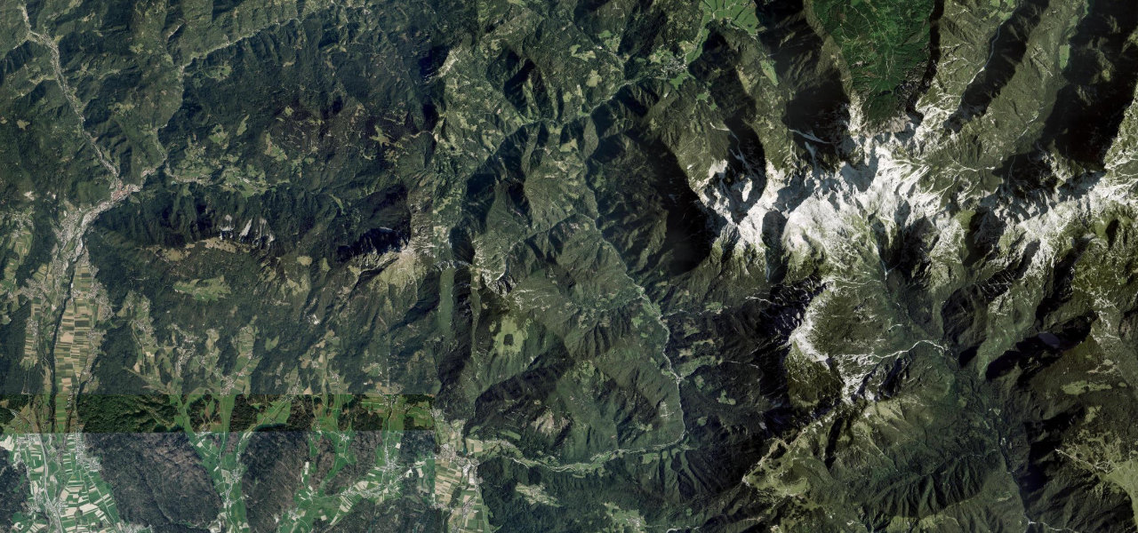
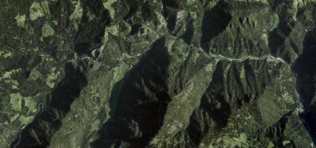
The D52 crosses the wooded Lika uplands between Otočac and Korenica, over Pogledalo at around 887 m and straight through Plitvice Lakes National Park. Beech and spruce close in, then the karst plateau opens out.
The D52 connects Otočac and Korenica across the wooded Lika uplands, crossing the Pogledalo pass at around 887 metres and passing through Plitvice Lakes National Park. The road threads beech and spruce forest with open views over the karst plateau. Mind the dense national-park traffic in summer, pedestrians near the park entrances and ice in the colder months.
Scenery
Best seasons
In these collections
In these guides
Where it runs25.4 mi · point to point
Navigate to the start: Apple Maps · Google Maps
Character
Corners
busiest around mile 23Elevation
under 4%4–8%over 8%455.7 – 887.9 mFrom the road
Points of interest2 stops
- PogledaloViewpoint22 mi in
- LješicaViewpoint11 mi in
Hazards
- Heavy park traffic in summer
- Pedestrians at park entrances
- Winter ice and snow
Sources
“The highlight of this route is the Pogledalo mountain pass, which offers expansive views of the surrounding Lika landscape.”
Verified route: mapped from real road geometry and fact-checked by a human editor. How roads get checked
Driving the Plitvice Pogledalo Pass: quick answers
How long does it take to drive the Plitvice Pogledalo Pass?
How difficult is the Plitvice Pogledalo Pass to drive?
When is the best time to drive the Plitvice Pogledalo Pass?
Nearby roads
The closest great drives to Plitvice Pogledalo Pass.