Primorje-Gorski Kotar County · Croatia
Gorski Kotar Road
D32Prezid to Delnice
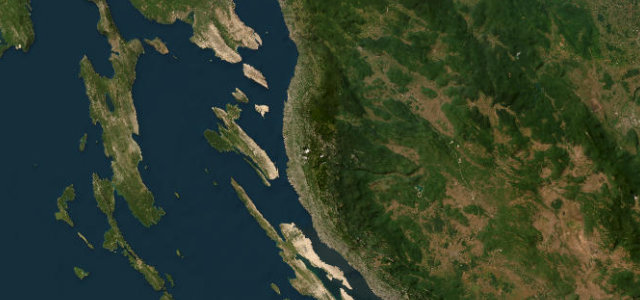
Croatia’s alpine secret: a winding mountain road through bear and lynx country, often likened to Switzerland.
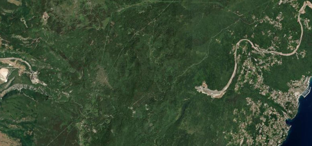
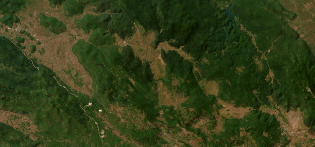
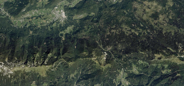
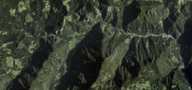
The D32 crosses the heart of Gorski Kotar, Croatia’s heavily forested highland interior, skirting Risnjak National Park on a road of sweeping curves through mature beech and silver fir. The region sits above 800 metres for much of the route, with clear mountain streams, wildflower meadows and occasional views towards the Adriatic contrasting with the dense canopy overhead. It is a compact drive by distance but rewards slow progress, with the visitor centre at Crni Lug a natural midpoint stop.
Scenery
Where it runs
Navigate to the start: Apple Maps · Google Maps
Character
Elevation
under 4%4–8%over 8%544 – 914 mHazards
- snow and ice from November through April
- wildlife on road at dawn and dusk including deer and boar
- narrow sections with limited overtaking opportunities
- logging trucks on weekday mornings
Sources: Road geometry © OpenStreetMap contributors
Nearby roads
The closest great drives to Gorski Kotar Road.