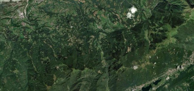
Tuscany / Emilia-Romagna · Italy
Passo del Muraglione
SS67San Godenzo to San Benedetto in Alpe
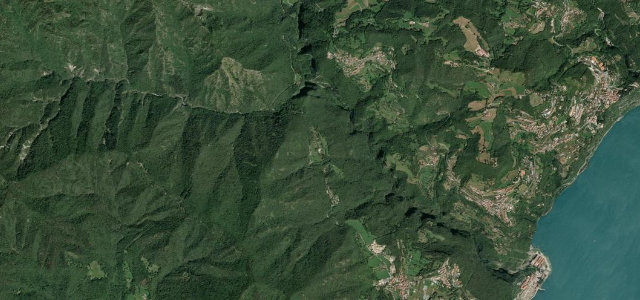
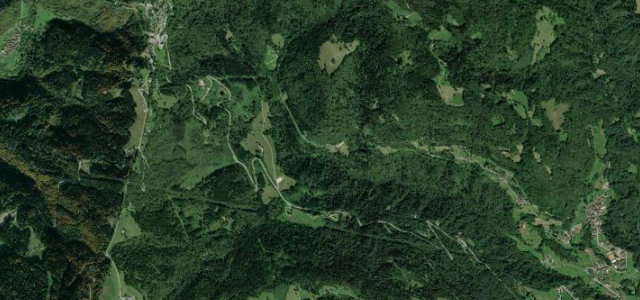
Built by Grand Duke Leopold II in the 1830s, the SS67 crosses the northern Apennines via the Passo del Muraglione at 907 m, curve after curve through chestnut and beech forest past the iconic stone shelter wall at the summit.
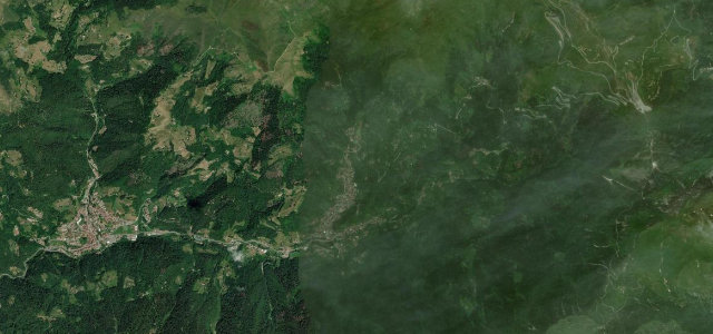
From San Godenzo on the Tuscan side the road climbs through dense mixed forest, the bends tightening with altitude to the summit, named for the long stone 'muraglione' wall built to shelter travellers, now a rider gathering point with views north toward Romagna. The steeper, narrower descent drops into the Acquacheta valley to San Benedetto in Alpe.
Scenery
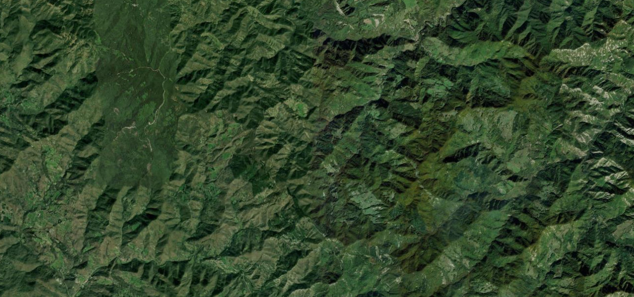
Where it runs
Navigate to the start: Apple Maps · Google Maps
Character
Elevation
under 4%4–8%over 8%383 – 952 mPoints of interest
- Passo del MuraglioneViewpoint
- Monte di CasiViewpoint
- Poggio del CavallinoViewpoint
Hazards
- Ice and snow November to March
- Cyclists and motorcyclists on summer weekends
- Narrow sections on the Romagna descent
Sources: Road geometry © OpenStreetMap contributors
Nearby roads
The closest great drives to Passo del Muraglione.