Lombardy · Italy
Gardesana Occidentale
SS45bisGargnano to Riva del Garda
A tunnel-and-cliff road along the west shore of Lake Garda.
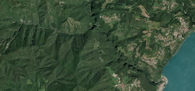
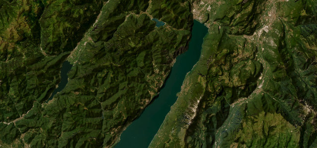
The SS45bis Gardesana Occidentale clings to the cliffs along Lake Garda’s west shore between Gargnano and Riva del Garda, a dramatic run of galleries, tunnels and lake views carved into the rock. Narrow and busy; mind the bikes, the dark tunnels, and oncoming traffic on the bends.
The western shore of Lake Garda, threaded through tunnels and galleries blasted into the cliffs. A feat of 1930s engineering that has been a celebrated drive ever since.
Why we picked it
Where it runs17.4 mi · point to point
Navigate to the start: Apple Maps · Google Maps
Character
Corners
busiest around mile 5Elevation
approximateunder 4%4–8%over 8%59.4 – 468.2 mFrom the road
Points of interest3 stops
- Terrazza del BrividoViewpoint7.4 mi in
- Belvedere verso TorboleViewpoint13 mi in
- Belvedere degli innamoratiViewpoint17 mi in
Hazards
- Narrow, dark tunnels
- Cyclists and motorbikes
- Oncoming traffic on bends
Sources
“the most beautiful road in Europe”
Verified route: mapped from real road geometry and fact-checked by a human editor. How roads get checked
Driving the Gardesana Occidentale: quick answers
How long does it take to drive the Gardesana Occidentale?
How difficult is the Gardesana Occidentale to drive?
When is the best time to drive the Gardesana Occidentale?
Nearby roads
The closest great drives to Gardesana Occidentale.