Lombardy · Italy
Passo del Tonale
SS42Ponte di Legno to Vermiglio
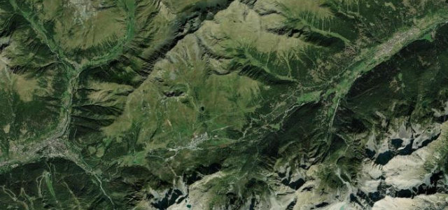
The SS42 crosses the Tonale at 1,883 m between Ponte di Legno and Vermiglio, wide and open beneath the Presena glacier: ski resort in winter, fast mountain run once the snow clears.
The SS42 crosses the Tonale Pass at 1,883 m between Ponte di Legno and Vermiglio, a wide, open and flowing pass beneath the Presena glacier, a ski resort in winter, a fast mountain run in summer. Watch for motorbikes, coaches and sudden weather on the exposed top.
Where it runs13.5 mi · point to point
Ponte di LegnoStart · Lombardy
VermiglioEnd · Lombardy
Navigate to the start: Apple Maps · Google Maps
Character
Corners26bends
Tightness4of 10
Max gradient8%≈ 1-in-13
Hairpins5tight bends
Climb661 mtotal ascent
Summit1,881.8 mhighest point of the line · 6,174 ft
Corners
busiest around mile 9Elevation
under 4%4–8%over 8%1,253 – 1,881.8 mFrom the road
Points of interest2 stops
- Passo del TonaleViewpoint6.8 mi in
- Cascate di PalùLandmark13 mi in
Hazards
- Motorbikes and coaches
- Exposed, fast-changing summit
- Ski traffic in winter
Sources
“Expect curves, turns and narrow parts.”
Verified route: mapped from real road geometry and fact-checked by a human editor. How roads get checked
Driving the Passo del Tonale: quick answers
How long does it take to drive the Passo del Tonale?
Passo del Tonale runs 13.5 miles (22 km) and takes about 26 min to drive without stops.
How difficult is the Passo del Tonale to drive?
We rate it moderate: 26 corners including 5 hairpins, a maximum gradient of 8%, and a tightness of 4 out of 10.
When is the best time to drive the Passo del Tonale?
Summer and Autumn are best.
Nearby roads
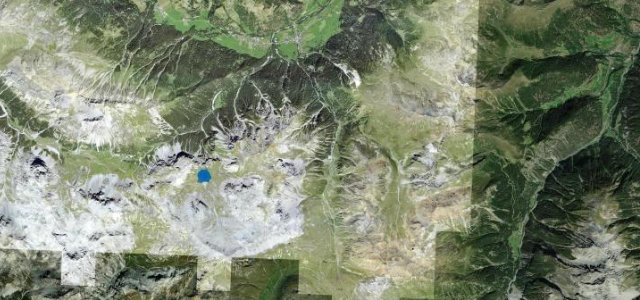
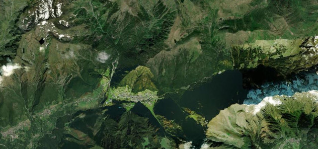
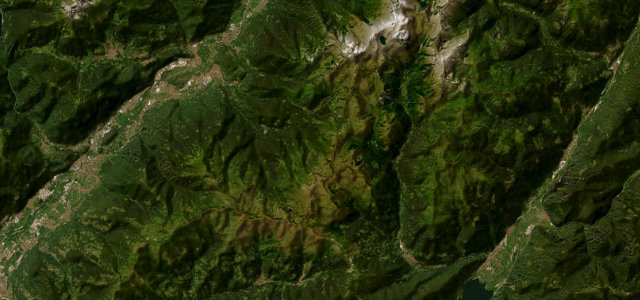
The closest great drives to Passo del Tonale.
Passo del Tonale
DirectionsGet the app