Lombardy · Italy
Passo di Croce Domini
SP345Breno to Bagolino
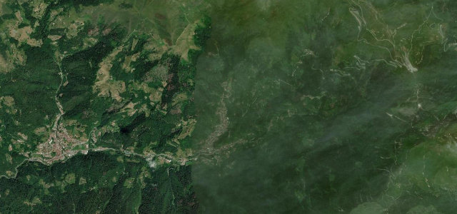
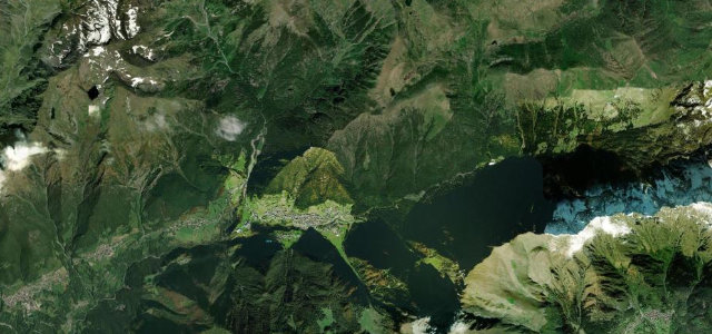
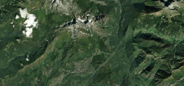
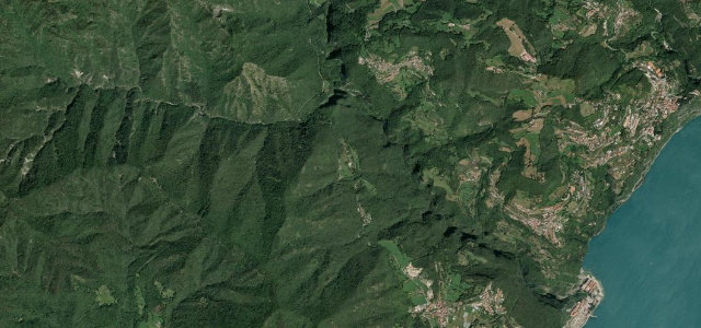
Narrow high pass linking three Brescian valleys in the Adamello foothills.
The SP345 climbs to Passo di Croce Domini at about 1,892 m in the southern Adamello group, on a route historically connecting Val Camonica, Val Trompia and Val Sabbia. From Breno it rises roughly 20 km to the pass with a maximum gradient near 12% before dropping toward Bagolino. The road is narrow with patchy asphalt and unprotected edges, and is closed by snow from around November to May.
Scenery
Best seasons
In these collections
In these guides
Where it runs26.1 mi · point to point
Navigate to the start: Apple Maps · Google Maps
Character
More hairpins than 9 in 10 roads in the catalogue.
Corners
busiest around mile 1Elevation
under 4%4–8%over 8%332.1 – 1,935.6 mFrom the road
Points of interest3 stops
- Passo di CrocedominiViewpoint13 mi in
- Goletto di GaverViewpoint15 mi in
- Goletto di CadinoViewpoint13 mi in
Hazards
- Narrow road with poor and patchy asphalt
- Unprotected drops on the high section
- Closed by snow roughly November to May
Is Passo di Croce Domini open? Typical season and live summit weather ›
Sources
“Croce Domini Pass is a sensational drive in the Italian Alps”
Verified route: mapped from real road geometry and fact-checked by a human editor. How roads get checked
Driving the Passo di Croce Domini: quick answers
How long does it take to drive the Passo di Croce Domini?
How difficult is the Passo di Croce Domini to drive?
When is the best time to drive the Passo di Croce Domini?
Nearby roads
The closest great drives to Passo di Croce Domini.