Lombardy · Italy
Passo del Vivione
SS294Vilminore di Scalve to Schilpario
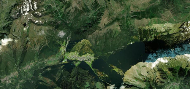
Lonely former military road over Val di Scalve.
The SS294 crosses a 1828 m saddle linking Schilpario in Val di Scalve with the Val Camonica, on a lonely former military supply road. The upper section is narrow with patchy asphalt, climbing through coniferous forest and rocky gorges where waterfalls drop close to the carriageway. Mind the single-lane stretches with damaged surface near the top.
Where it runs11.0 mi · point to point
Vilminore di ScalveStart · Lombardy
SchilparioEnd · Lombardy
Navigate to the start: Apple Maps · Google Maps
Character
Corners30bends
Tightness8of 10
Max gradient13%≈ 1-in-8
Hairpins12tight bends
Climb954 mtotal ascent
Summit1,833.3 mhighest point of the line · 6,015 ft
Corners
busiest around mile 8Elevation
under 4%4–8%over 8%930 – 1,833.3 mFrom the road
Points of interest2 stops
- Passo del VivioneViewpoint11 mi in
- Monte i ColliViewpoint9.6 mi in
Hazards
- Narrow single-lane upper section
- Patchy damaged asphalt
- Falling water and rockfall
Sources
“The road is very steep, hitting a 12.7% of maximum gradient through some of the ramps.”
Verified route: mapped from real road geometry and fact-checked by a human editor. How roads get checked
Driving the Passo del Vivione: quick answers
How long does it take to drive the Passo del Vivione?
Passo del Vivione runs 11.0 miles (18 km) and takes about 26 min to drive without stops.
How difficult is the Passo del Vivione to drive?
We rate it demanding: 30 corners including 12 hairpins, a maximum gradient of 13%, and a tightness of 8 out of 10.
When is the best time to drive the Passo del Vivione?
Summer and Autumn are best.
Nearby roads
The closest great drives to Passo del Vivione.
Passo del Vivione
DirectionsGet the app