Lombardy · Italy
Passo della Presolana
SS671Dorga to Colere
Every Bergamo rider knows this one: curves and long straights over the 1,297 m saddle between the Presolana massif and Monte Scanapa. Go early or midweek and the Prealps are all yours.
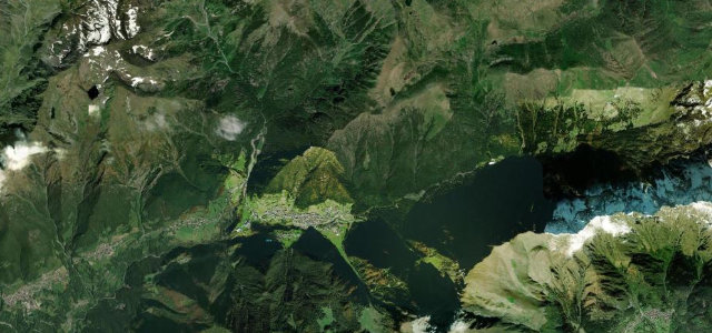
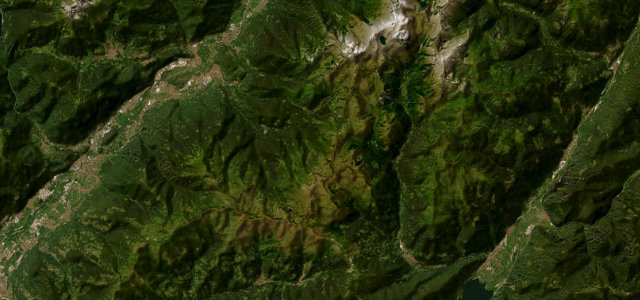
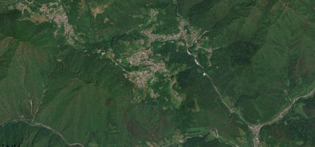
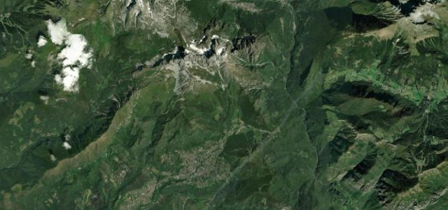
Passo della Presolana sits at 1,297 m on the SS671 della Val Seriana, between the Presolana massif and Monte Scanapà, linking Valle Seriana with Valle di Scalve. It is a well-known motorcycling and cycling route mixing curves with longer straighter stretches as it crosses the Bergamo Prealps. Traffic is heavy near Castione della Presolana, the road can be busy on summer weekends, and the Scalve side carries snow and ice in winter.
Where it runs7.9 mi · point to point
Navigate to the start: Apple Maps · Google Maps
Character
Corners
busiest around mile 4Elevation
under 4%4–8%over 8%802.2 – 1,303.5 mFrom the road
Points of interest3 stops
- Passo della PresolanaViewpoint3.9 mi in
- Tomba di Roberto FranceschiLandmark0.9 mi in
- CastelloViewpointat the start
Hazards
- Congestion around Castione della Presolana
- Busy with motorcycles on summer weekends
- Winter snow and ice on the Val di Scalve side
Sources
“It's called SPexSS671 and includes several hairpin bends. It's pretty steep, with sections up to 14%.”
Verified route: mapped from real road geometry and fact-checked by a human editor. How roads get checked
Driving the Passo della Presolana: quick answers
How long does it take to drive the Passo della Presolana?
How difficult is the Passo della Presolana to drive?
When is the best time to drive the Passo della Presolana?
Nearby roads
The closest great drives to Passo della Presolana.