Lombardy · Italy
Passo di Gavia
SP29Bormio to Ponte di Legno
A wild, narrow, high pass for the brave, barely two cars wide near the top.
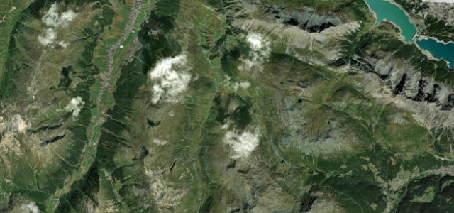
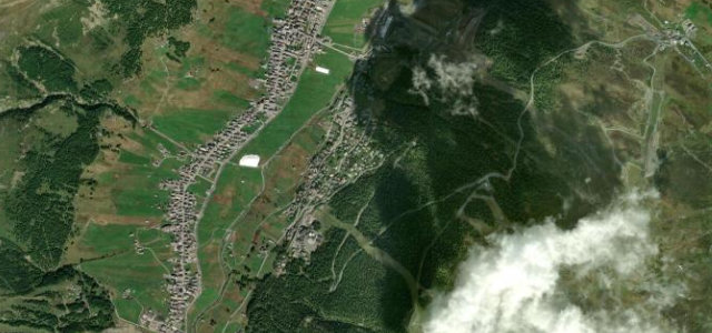
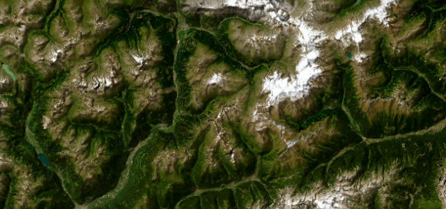
The Gavia is the Stelvio’s untamed neighbour: a narrow, often unguarded ribbon climbing to 2,621 m between Bormio and Ponte di Legno, with sheer drops and stretches where two cars can barely pass. Spectacular and serious, go in good weather, in daylight, and give way early.
No guardrails, just sheer drama: tight switchbacks past silent tarns and stone meadows. The asphalt is rough, but every patient corner earns the view.
Why we picked it
Scenery
Best seasons
In these collections
In these guides
Where it runs27.2 mi · point to point
Navigate to the start: Apple Maps · Google Maps
Character
Corners
busiest around mile 27Elevation
under 4%4–8%over 8%1,198.3 – 2,618.2 mFrom the road
Points of interest2 stops
- Gesa RotaViewpoint0.8 mi in
- Gavia PassViewpoint16 mi in
Hazards
- Single-track sections with sheer drops
- Few barriers
- Closed in winter; ice early and late
Is Passo di Gavia open? Typical season and live summit weather ›
Sources
“one of the highest and most beautiful passes in the Alps”
Verified route: mapped from real road geometry and fact-checked by a human editor. How roads get checked
Driving the Passo di Gavia: quick answers
How long does it take to drive the Passo di Gavia?
How difficult is the Passo di Gavia to drive?
When is the best time to drive the Passo di Gavia?
Nearby roads
The closest great drives to Passo di Gavia.