Tuscan-Emilian Apennines · Italy
Futa and Raticosa Passes
SP65Mugello to Pianoro
The last driveable stretch of the 1955 Mille Miglia, crossing the Futa and Raticosa passes through chestnut forest between Florence and Bologna on a road that now carries almost no traffic.
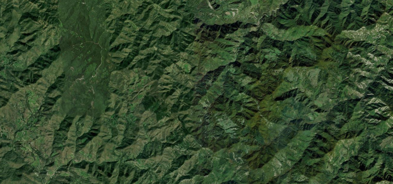
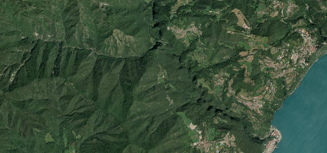
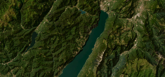
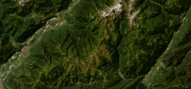
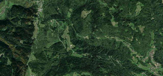
Leaving the Mugello north of Florence, the old SS65 climbs to the Passo della Futa and then the Passo della Raticosa, two Apennine cols that once thundered to Mille Miglia machinery. Today the motorway takes the freight and the pass road is left to drivers: a long, varied sequence of third- and fourth-gear curves through chestnut and beech, past the vast German war cemetery on the Futa, descending finally toward Bologna. It is a road revered for its rhythm and its history rather than for any single view.
Scenery
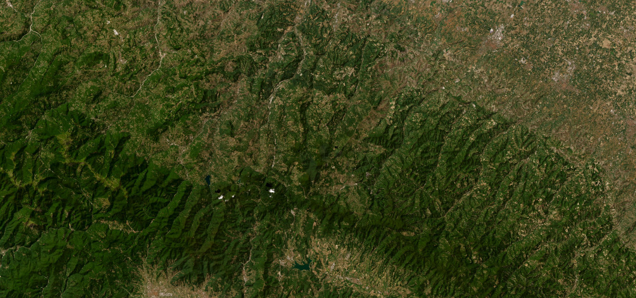
Where it runs
Navigate to the start: Apple Maps · Google Maps
Character
Elevation
under 4%4–8%over 8%182 – 963 mPoints of interest
- lapide a Giuseppe Garibaldi – 24 agosto 1849Landmark
- Colonna leopoldina di MontecarelliLandmark
- Lapide a Giulio MasettiLandmark
Hazards
- Patchy surface and gravel on shaded bends
- Motorcycles at speed on weekends
- Fog on the higher passes
- Ice in winter on the cols
Sources: Road geometry © OpenStreetMap contributors
Nearby roads
The closest great drives to Futa and Raticosa Passes.