Campania · Italy
Amalfi Coast
SS163Vietri sul Mare to Arienzo
The cliff-hugging Amalfitana above the Tyrrhenian Sea.
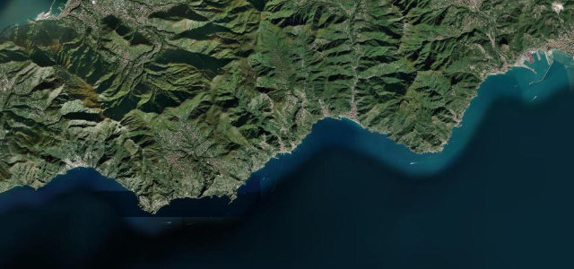
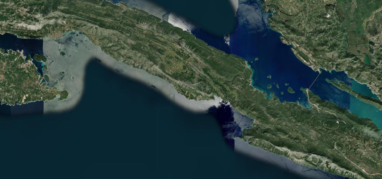
The SS163 Amalfitana threads the cliffs of the Amalfi Coast between Vietri sul Mare and Positano, a ribbon of tight bends, tunnels and impossible sea views past Amalfi. Spectacular but slow and busy; mind the buses on the blind corners, the scooters, and the crowds in season.
Impossibly pretty and impossibly narrow. Go early, go slow, and let the sea do the rest.
Why we picked it
Scenery
Coast
Best seasons
SpringSummerAutumn
In these collections
Where it runs23.1 mi · point to point
Vietri sul MareStart · Campania
ArienzoEnd · Campania
Navigate to the start: Apple Maps · Google Maps
Character
Corners70bends
Tightness7of 10
Max gradient7%≈ 1-in-14
Hairpins6tight bends
Climb1,377 mtotal ascent
Summit187.1 mhighest point of the line · 614 ft
Corners
busiest around mile 20Elevation
under 4%4–8%over 8%-0.9 – 187.1 mFrom the road
Points of interest3 stops
- Belvedere MortellaViewpoint9.9 mi in
- Torre dello ZiroViewpoint12 mi in
- Fiordo di FuroreViewpoint16 mi in
Hazards
- Buses on blind corners
- Scooters and heavy crowds
- Very narrow in the towns
Sources
“one of the best coastal drives in the world”
Verified route: mapped from real road geometry and fact-checked by a human editor. How roads get checked
Driving the Amalfi Coast: quick answers
How long does it take to drive the Amalfi Coast?
Amalfi Coast runs 23.1 miles (37 km) and takes about 51 min to drive without stops.
How difficult is the Amalfi Coast to drive?
We rate it demanding: 70 corners including 6 hairpins, a maximum gradient of 7%, and a tightness of 7 out of 10.
When is the best time to drive the Amalfi Coast?
Spring and Summer and Autumn are best.
Nearby roads
The closest great drives to Amalfi Coast.
Amalfi Coast
DirectionsGet the app