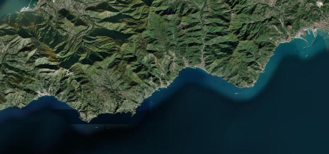
Sicily · Italy
Mount Etna Road
SP92Nicolosi to Rifugio Sapienza
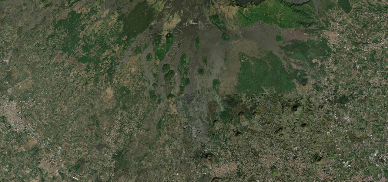
An extraordinary climb of 1,300 m from Nicolosi to the car park at Rifugio Sapienza (1,910 m) on Europe’s largest active volcano, through lava fields with Ionian Sea views.
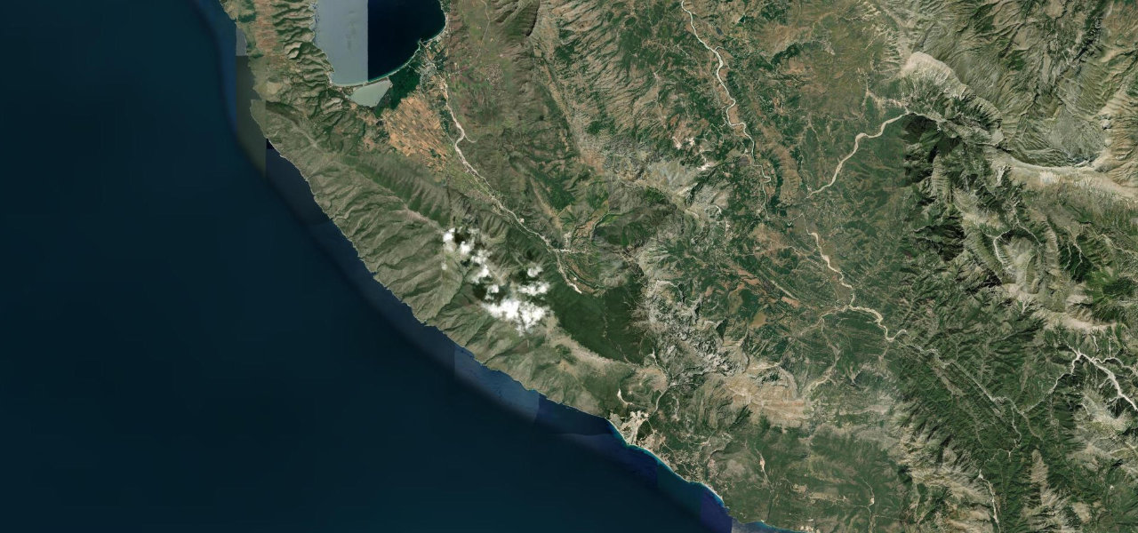
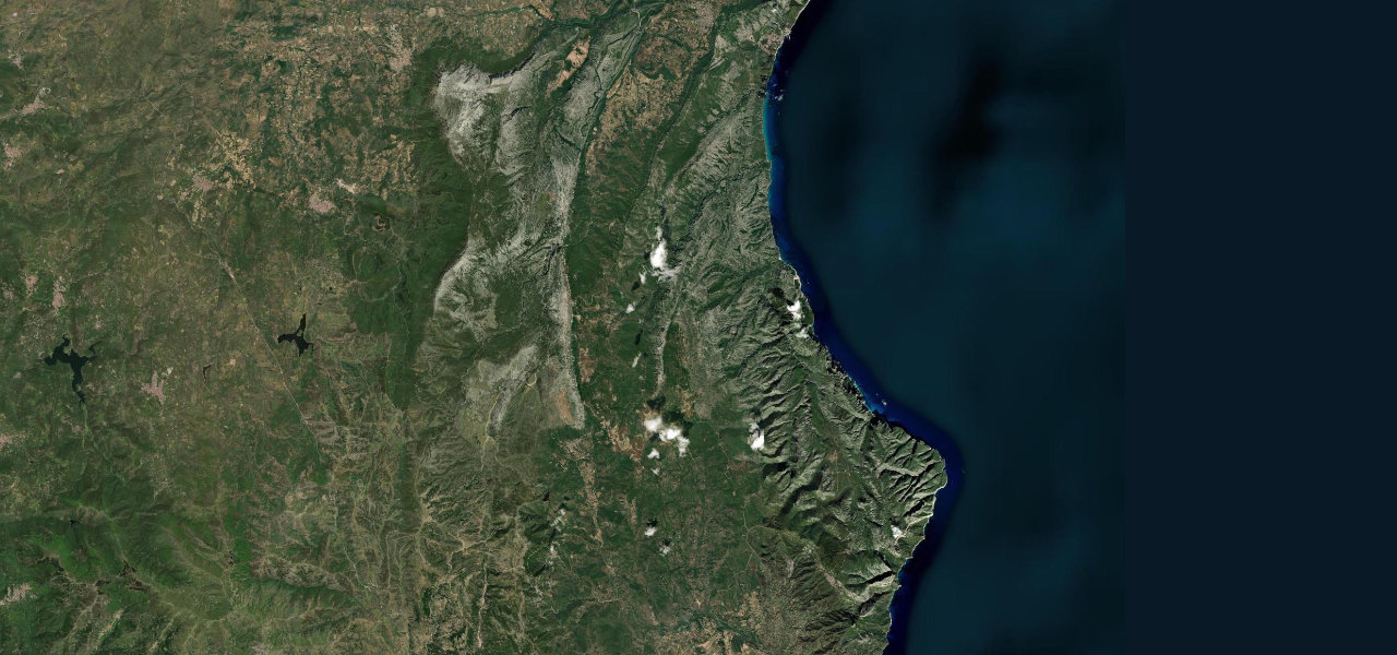
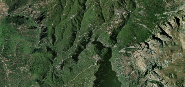
From Nicolosi the SP92 passes the Monti Rossi cones and enters Etna National Park, its wide-radius curves more flowing than hairpin-heavy. Forest gives way to lava fields where the 1983 eruption buried sections of the original road; the upper kilometres offer Ionian Sea views to Piazzale Sapienza, where the cable car to the summit zone begins.
Where it runs
Navigate to the start: Apple Maps · Google Maps
Character
Elevation
under 4%4–8%over 8%747 – 1,923 mHazards
- can close without warning during eruptions
- winter snow and ice above 1,000 m
- very high tourist traffic in summer
See the typical season and live conditions for the high passes ›
Sources: Road geometry © OpenStreetMap contributors
Nearby roads
The closest great drives to Mount Etna Road.