Vlorë · Albania
Llogara Pass
SH8Orikum to Dhërmi
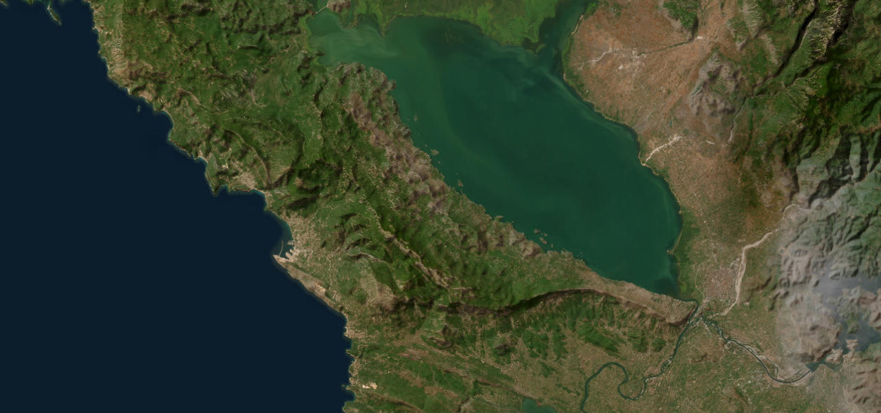
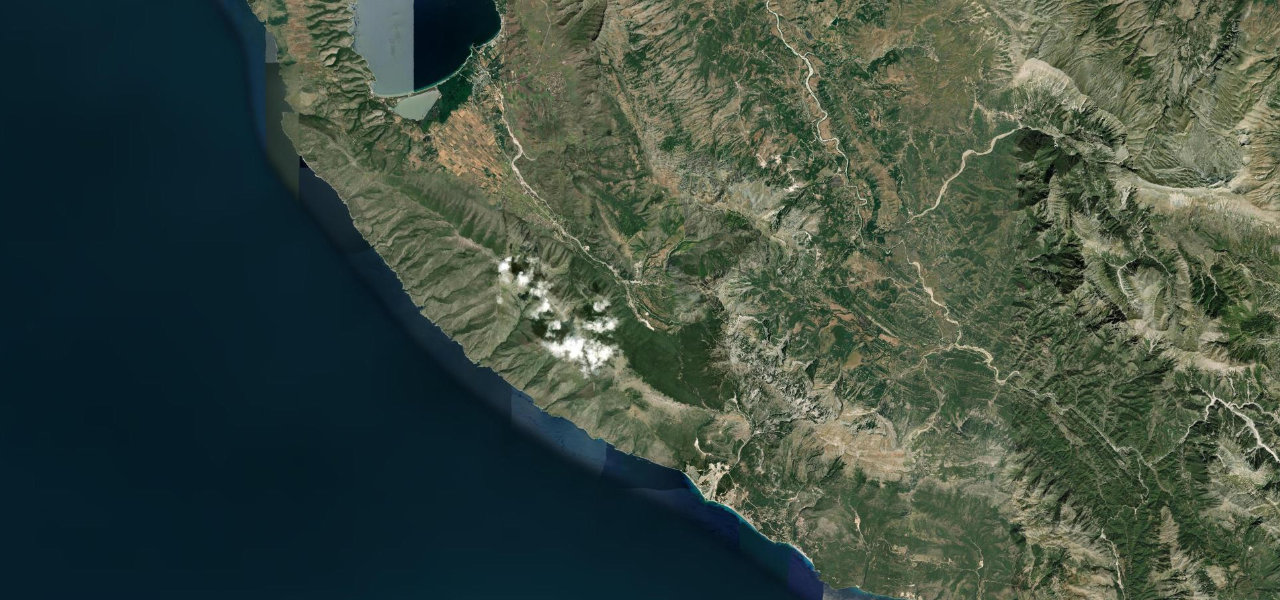
Albania’s most dramatic coastal mountain road: a winding climb through Ceraunian pine forest to 1,043 m, then a breathtaking descent with the whole Albanian Riviera laid out below.
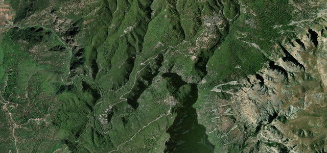
From Orikum the SH8 climbs steeply into the Ceraunian Mountains with hairpins and switchbacks through pine forest to Qafa e Llogarasë (1,043 m), where a viewing platform overlooks the Ionian Sea. The descent corkscrews down through hairpins with the coast far below to the white-pebble villages of Palasë and Dhërmi. A tunnel opened in 2024 carries through-traffic, leaving the pass quieter.
Scenery
Best seasons
In these collections
In these guides
Llogara Pass on the map19.5 mi · point to point
Navigate to the start: Apple Maps · Google Maps
Character
Corners
busiest around mile 9Elevation
under 4%4–8%over 8%97.1 – 1,034.5 mPoints of interest3 stops
- Maja ThanasitViewpoint8.2 mi in
- RrënojaLandmark2.8 mi in
- Maja Gjikë SpirosViewpoint7.2 mi in
Hazards
- Narrow road with limited barriers
- Gradients up to 11%
- Tight hairpin bends
- Sheer drops to the Ionian coast
- Heavy tourist traffic in summer
Sources
“The highest point of the SH8 is the Llogara Pass, 1,043 m above sea level.”
Verified route: mapped from real road geometry and fact-checked by a human editor. How roads get checked
Driving the Llogara Pass: quick answers
How long does it take to drive the Llogara Pass?
How difficult is the Llogara Pass to drive?
When is the best time to drive the Llogara Pass?
Nearby roads
The closest great drives to Llogara Pass.