Mavrovo and Rostuša · North Macedonia
Mavrovo and the Radika Gorge
R1202Cerovo, near Gostivar to Debar
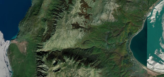
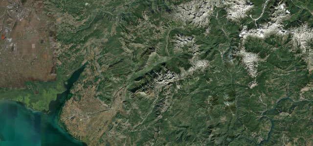
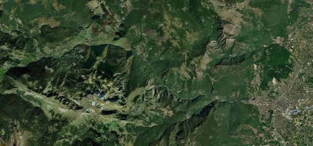
The R1202 climbs from the Gostivar valley to Mavrovi Anovi and runs along the north side of Mavrovo Lake, then descends through the Radika gorge from Trnica to Debar, passing Bigorski monastery.
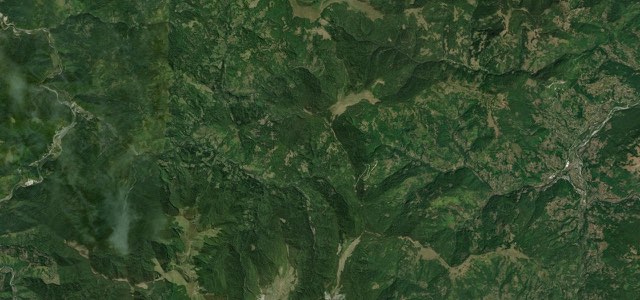
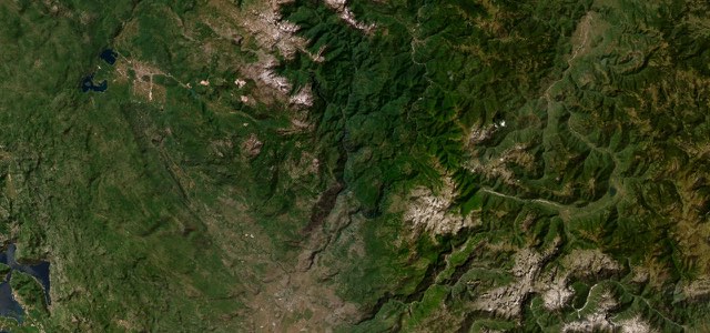
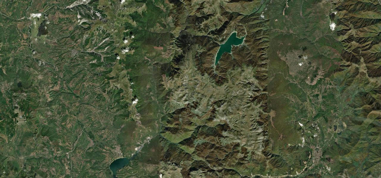
The R1202 leaves the A2 at Cerovo, about 15 km south-west of Gostivar, and climbs the Mavrovo valley to Mavrovi Anovi, where the national park information centre and a monument to the builders of the Mavrovo hydro plant stand beside the road. Mavrovo Lake, an artificial reservoir, lies just south of the road, and its best-known sight is the half-submerged church of St Nicholas. At Trnica the Radika canyon begins, and from there the road follows the river through a gorge that runs for more than 25 km between the Šar, Korab and Bistra mountains. The Monastery of Saint Jovan Bigorski stands close to the road on the way down, with a carved wooden iconostasis. The road ends at Debar, with glimpses of emerald water in the gorge all the way down.
Scenery
Best seasons
In these collections
In these guides
Mavrovo and the Radika Gorge on the map34.2 mi · point to point
Navigate to the start: Apple Maps · Google Maps
Character
Corners
busiest around mile 1Elevation
under 4%4 to 8%over 8%582 to 1,331 mPoints of interest4 stops
- Mavrovo National Park Information CenterPark information centre beside the road at Mavrovi Anovi.7.1 mi in
- Mavrovo hydro builders’ monumentMemorial at Mavrovi Anovi to the workers who died building the plant.7.3 mi in
- Restaurant Korab, TrnicaRoadside stop where the Radika canyon begins, known for polenta and sheep yoghurt.11 mi in
- Monastery of Saint Jovan BigorskiMonastery in the Radika canyon with a carved wooden iconostasis.22 mi in
Hazards
- Landslide risk between Mavrovi Anovi and Debar
- Snow in winter, when winter tyres or chains may be needed
- No fuel inside the national park
Sources
“One of the most scenic drives is the Mavrovo National Park, which offers stunning views of the park’s mountains and lakes.”
“the main road through the park (from Trnica towards Debar) takes you through this canyon. You catch glimpses of its emerald green water as you drive, and you feel very tiny in the shade of its giant rock walls.”
“The river flows through mountain landscapes, deep valleys and scenic road sections, creating one of the most beautiful drives in North Macedonia.”
Route traced from OpenStreetMap, with its stats measured from that line. How the roads are mapped
Driving the Mavrovo and the Radika Gorge: quick answers
How long does it take to drive the Mavrovo and the Radika Gorge?
How difficult is the Mavrovo and the Radika Gorge to drive?
When is the best time to drive the Mavrovo and the Radika Gorge?
Nearby roads
The closest great drives to Mavrovo and the Radika Gorge.