Shkodër · Albania
Theth Alpine Road
SH21Koplik to Theth
Distance35.7 mi57 km
Drive time1 h 15 minon the road
DifficultyDemandingtightness 6 of 10
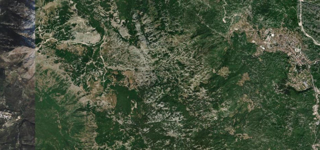
A 56 km drive from lowland Koplik deep into the Albanian Alps, cresting the 1,691 m Thore Pass before descending into the glacier-carved valley of Theth.
From Koplik the SH21 heads east, climbing into the Albanian Alps through wild karst terrain, narrow and winding with dramatic gorge views. The summit at Qafa e Thorës (1,691 m) divides the Shkodër lowlands from the Theth valley; the descent opens into an alpine bowl ringed by vertical rock walls, dotted with traditional stone kulla towers.
Scenery
MountainValleyForest
Where it runs
KoplikStart · Shkodër
ThethEnd · Shkodër
Navigate to the start: Apple Maps · Google Maps
Character
Corners134bends
Tightness6of 10
Max gradient12%≈ 1-in-8
Hairpins25tight bends
Climb1,707 mtotal ascent
Summit1,742 mhighest point of the line · 5,715 ft
Elevation
under 4%4–8%over 8%62 – 1,742 mHazards
- closed November to May by snow
- narrow with few passing places
- gradients up to 15%
- sheer drops without barriers
- loose gravel on upper sections
See the typical season and live conditions for the high passes ›
Sources: Road geometry © OpenStreetMap contributors
Nearby roads
The closest great drives to Theth Alpine Road.
Theth Alpine Road
Directions