Cetinje · Montenegro
Cetinje to Lovćen
R-25Cetinje to Kuk
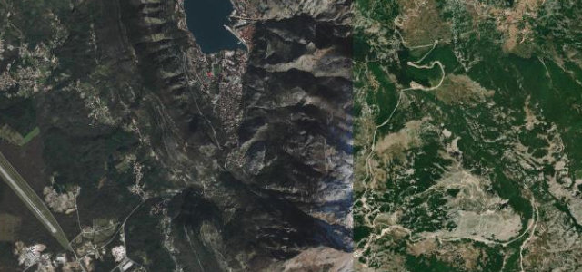
Sixty corners from the old royal capital of Cetinje up into Lovćen National Park, gaining height fast through limestone and beech on the way to the Njegoš mausoleum road.
The R-25 leaves the old royal capital of Cetinje and winds up into Lovćen National Park, passing the Ivanova Korita plateau on the way to the Njegoš mausoleum road. It is a narrow two-lane mountain road that gains height quickly through limestone and beech forest. Mind the narrow passing places, steep drop-offs and seasonal closures near the summit.
Scenery
Best seasons
In these collections
In these guides
Where it runs12.6 mi · point to point
Navigate to the start: Apple Maps · Google Maps
Character
Corners
busiest around mile 7Elevation
under 4%4–8%over 8%659.3 – 1,432.1 mPoints of interest2 stops
- PreśekaViewpoint6.8 mi in
- Spomenik Dinastija PetrovićaLandmark8.3 mi in
Hazards
- Narrow single-lane sections
- Steep unguarded drops
- Winter closures near summit
Is Cetinje to Lovćen open? Typical season and live summit weather ›
Sources
“This steep, old road winding to the peak is one of the great, if vertigo-inducing, Montenegrin drives.”
Verified route: mapped from real road geometry and fact-checked by a human editor. How roads get checked
Driving the Cetinje to Lovćen: quick answers
How long does it take to drive the Cetinje to Lovćen?
How difficult is the Cetinje to Lovćen to drive?
When is the best time to drive the Cetinje to Lovćen?
Nearby roads
The closest great drives to Cetinje to Lovćen.