Southwestern North Macedonia · North Macedonia
Galičica Pass
P504Trpejca to Oteševo
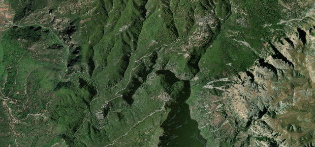
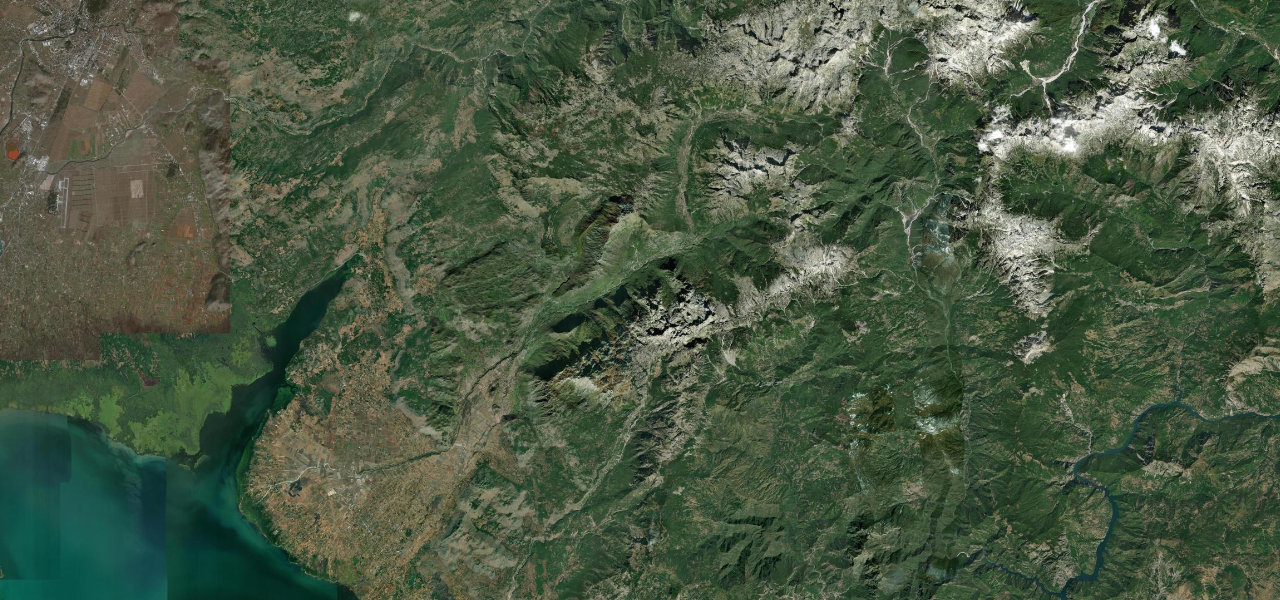
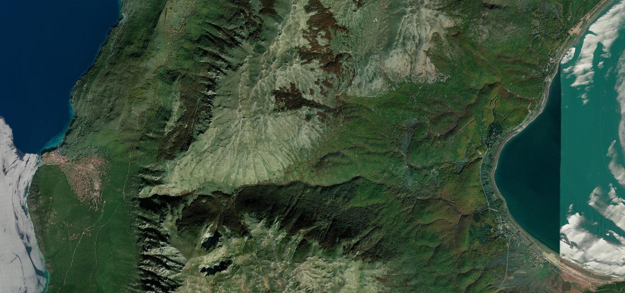
A high traverse across the karst spine of Galičica National Park connecting Lake Ohrid and Lake Prespa at nearly 1,600 m, where from the summit both lakes are visible at once.
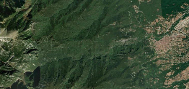
From the fishing village of Trpejca on Lake Ohrid the road climbs steeply west through 20 hairpins up the limestone flanks of Galičica, easing across the high plateau to the Livada Pass (1,599 m) where a tri-country panorama opens, before the gentler descent to Oteševo on Lake Prespa. Paved but narrow; a park toll applies.
Scenery
Where it runs
Navigate to the start: Apple Maps · Google Maps
Character
Elevation
under 4%4–8%over 8%733 – 1,607 mHazards
- seasonal closure November to mid-March
- 20 hairpin turns on the steep western side
- narrow carriageway
- potholes after winter
- park entrance fee
See the typical season and live conditions for the high passes ›
Sources: Road geometry © OpenStreetMap contributors
Nearby roads
The closest great drives to Galičica Pass.