Pieria, Central Macedonia · Greece
Litochoro to Prionia Road
Litochoro to Prionia
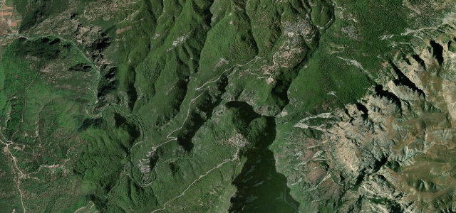
The paved climb up Mount Olympus from Litochoro to Prionia above the Enipeas Gorge.
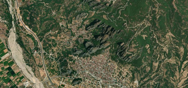
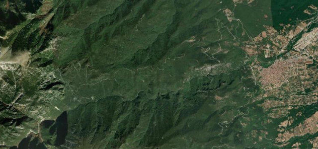
This is the asphalt road up the flank of Mount Olympus, running about 18 km from Litochoro to Prionia at around 1100 metres, the highest point reachable by car on the mythical mountain. It winds through dense forest with the Enipeas Gorge dropping away alongside and serves as the main trailhead for Olympus summit hikes. The surface is generally maintained but narrow with tight forest bends. Mind the rockfall on the upper section, the limited passing room, and ice or snow lingering into spring.
Where it runs10.6 mi · point to point
Navigate to the start: Apple Maps · Google Maps
Character
Corners
busiest around mile 5Elevation
under 4%4–8%over 8%281.7 – 1,148.3 mPoints of interest2 stops
- Enipeas WaterfallLandmark11 mi in
- Monument to Fallen HeroesLandmarkat the start
Hazards
- Rockfall on the upper section
- Narrow forest bends
- Late-spring ice and snow
Sources
“The scenic drive winds through dense forests and offers stunning views of the Enipeas Gorge.”
Verified route: mapped from real road geometry and fact-checked by a human editor. How roads get checked
Driving the Litochoro to Prionia Road: quick answers
How long does it take to drive the Litochoro to Prionia Road?
How difficult is the Litochoro to Prionia Road to drive?
When is the best time to drive the Litochoro to Prionia Road?
Nearby roads
The closest great drives to Litochoro to Prionia Road.