Magnesia, Thessaly · Greece
Pelion Mountain Road
EO34Volos to Tsagarada
A tight, forested mountain loop up the Pelion Peninsula, rising through chestnut woods and stone-built villages with Aegean views plunging away on both flanks.
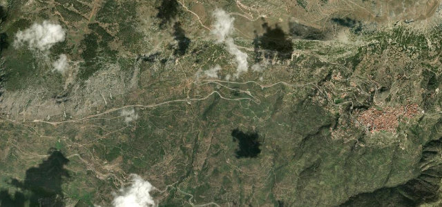
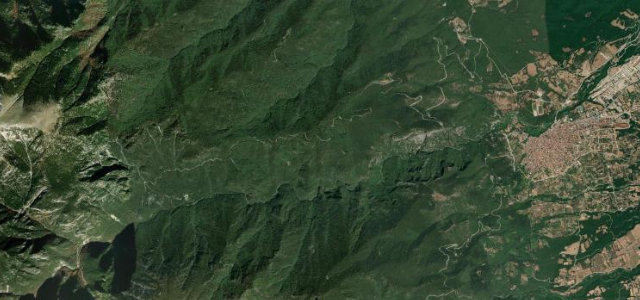
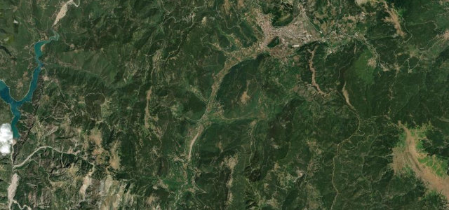
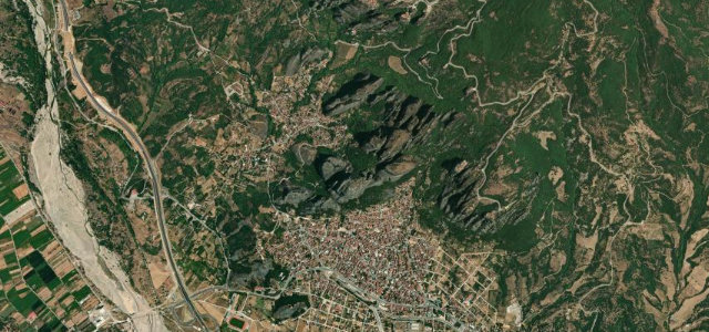
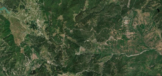
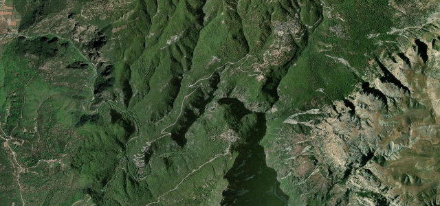
The EO34a climbs steeply from Volos through the stone-paved village of Makrinitsa — the 'Balcony of Pelion' — and continues via Portaria and Chania to Tsagarada, threading dense chestnut, beech, and oak forest along the spine of the peninsula. Villages like Tsagarada and Zagora combine traditional slate-roofed architecture with sudden ocean panoramas across the Aegean, while the road itself demands constant attention through tight hairpins and blind corners. The full circular route via EO34 along the coast extends to roughly 168 km.
Scenery
Where it runs
Navigate to the start: Apple Maps · Google Maps
Character
Elevation
under 4%4–8%over 8%0 – 523 mHazards
- hairpin bends with limited visibility
- narrow lanes shared with farm vehicles
- thick fog common in autumn and winter
- road may require snow chains in winter at the Chania pass
Sources: Road geometry © OpenStreetMap contributors
Nearby roads
The closest great drives to Pelion Mountain Road.