Epirus · Greece
Aristi to Papingo Road
Aristi to Papingo
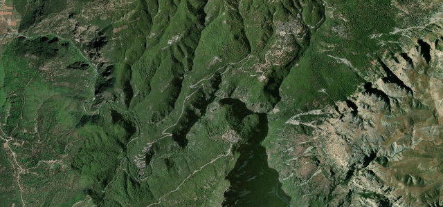
Hairpin climb facing the Vikos gorge cliffs.
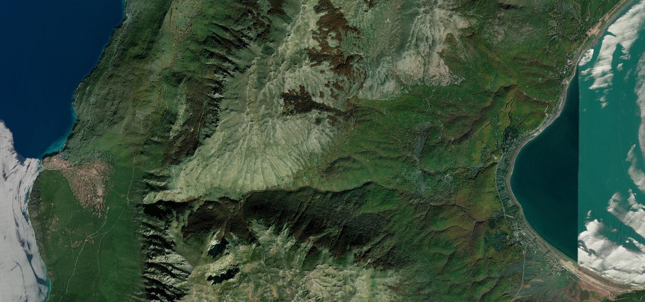
This Zagori mountain road links the stone villages of Aristi and Papingo in the Pindus range of Epirus, rising from about 620 m to 930 m over roughly 11 km with 23 hairpin turns. It follows the Voidomatis valley below the towers of the Vikos gorge, recorded by Guinness as the deepest gorge relative to its width. Mind the narrow single-track sections, livestock on the road and ice in the colder months.
Scenery
MountainGorgeForestValley
Best seasons
SpringSummerAutumn
In these collections
Where it runs5.0 mi · point to point
AristiStart · Epirus
PapingoEnd · Epirus
Navigate to the start: Apple Maps · Google Maps
Character
Corners23bends
Tightness7of 10
Max gradient10%≈ 1-in-10
Hairpins15tight bends
Climb511 mtotal ascent
Summit926.6 mhighest point of the line · 3,040 ft
Corners
busiest around mile 1Elevation
under 4%4–8%over 8%443.3 – 926.6 mPoints of interest2 stops
- Voidomatis Bridge (Aristi)Viewpointat the start
- Rogovos BasinsLandmark5.0 mi in
Hazards
- Narrow single-track bends
- Livestock on road
- Winter ice
Sources
“the road from Aristi to Papingo offers a scenic drive with 23 hairpin turns and stunning mountain views”
Verified route: mapped from real road geometry and fact-checked by a human editor. How roads get checked
Driving the Aristi to Papingo Road: quick answers
How long does it take to drive the Aristi to Papingo Road?
Aristi to Papingo Road runs 5.0 miles (8.0 km) and takes about 11 min to drive without stops.
How difficult is the Aristi to Papingo Road to drive?
We rate it moderate: 23 corners including 15 hairpins, a maximum gradient of 10%, and a tightness of 7 out of 10.
When is the best time to drive the Aristi to Papingo Road?
Spring and Summer and Autumn are best.
Nearby roads
The closest great drives to Aristi to Papingo Road.
Aristi to Papingo Road
DirectionsGet the app