Madonie, Sicily · Italy
Targa Florio, Collesano Descent
SP9Collesano to Campofelice di Roccella
The closing miles of the world’s oldest road race, Collesano to the sea.
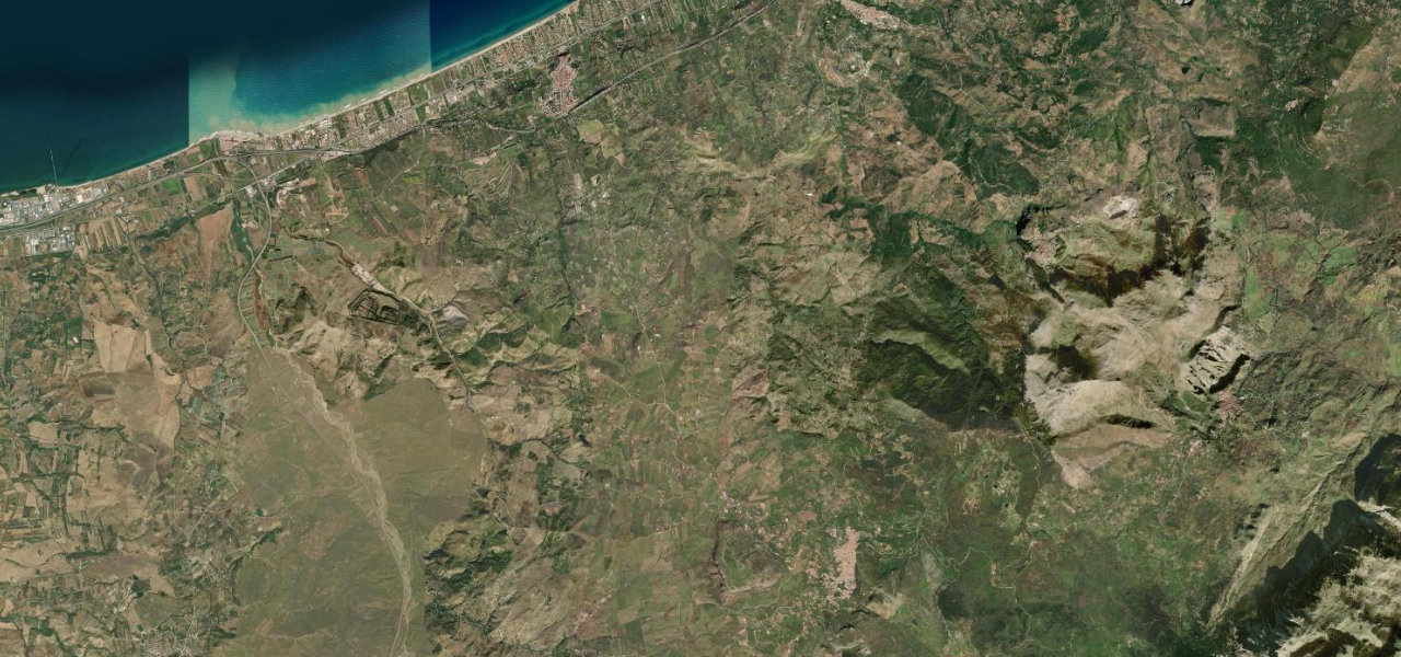
For seventy years the Targa Florio, the world’s oldest sports car race, tore around the Madonie on public roads, and this is its celebrated closing leg: the SP9 out of Collesano, past the corner every period photograph shows Porsches and Ferraris squeezing through the town’s walls, then down 400 vertical metres of open bends to Campofelice and the coastal straight that was longer than the Mulsanne. The Museo Targa Florio in Collesano keeps the story. The tarmac is patched and worn in places, the walls are close in town, and the drops are real; it is a pilgrimage first and a smooth drive second, and all the better for it.
You drive it slowly, windows down, and it still feels fast. The greatest road race of them all finished down this hill.
Why we picked it
Scenery
Best seasons
In these collections
Where it runs7.1 mi · point to point
Navigate to the start: Apple Maps · Google Maps
Character
Elevation
under 4%4–8%over 8%48 – 519 mThe strip below the profile is corner density: taller, warmer ticks mean tighter bends.
Points of interest2 stops
- Museo Targa FlorioLandmarkat the start
- Collesano cornerLandmarkat the start
Hazards
- Broken, patched tarmac with badly worn stretches
- Narrow walled streets and a very tight corner through Collesano
- Landslide and rockfall history, check the road is open before travelling
- Exposed drops on the corners above the coast
Verified route: mapped from real road geometry and fact-checked by a human editor. How roads get checked
Driving the Targa Florio, Collesano Descent: quick answers
How long does it take to drive the Targa Florio, Collesano Descent?
How difficult is the Targa Florio, Collesano Descent to drive?
When is the best time to drive the Targa Florio, Collesano Descent?
Nearby roads
The closest great drives to Targa Florio, Collesano Descent.