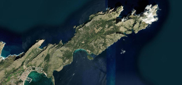
Jendouba · Tunisia
Kroumirie Forest Road
RN17Tabarka to Aïn Draham
Distance17.7 mi28 km
Drive time35 minon the road
DifficultyModeratetightness 5 of 10
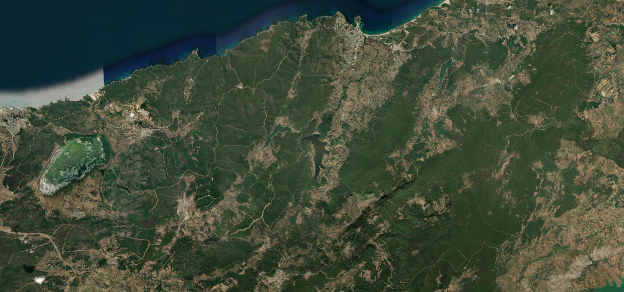
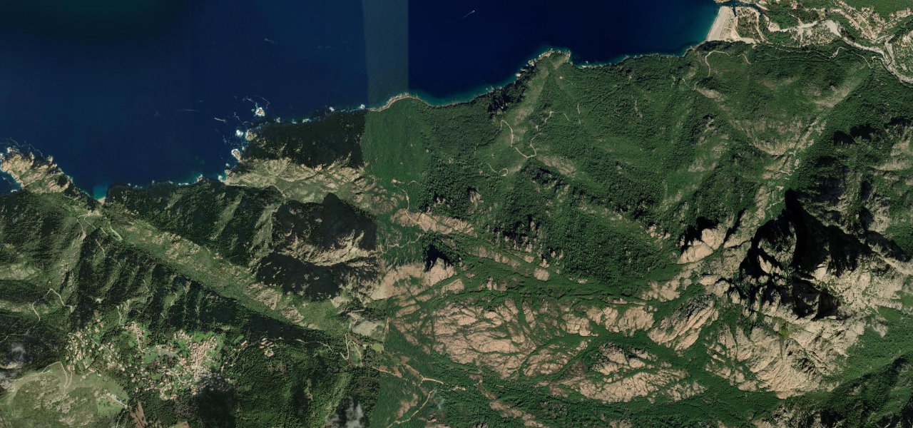
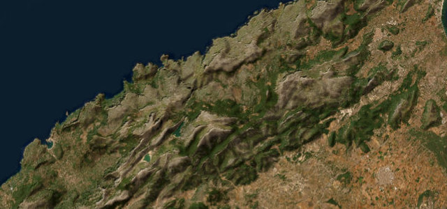
The RN17 climbs from the coral coast at Tabarka into the dense cork-oak forests of the Kroumirie Mountains, rising to Aïn Draham at 823 m through hairpins and forested ridges, Tunisia’s greenest road.
Leaving Tabarka’s seaside the road climbs into the Kroumirie range, zig-zagging with sharp hairpins through canopies of cork oak and pine, one of the last great forests of North Africa. Aïn Draham at 823 m is cool in summer and occasionally snow-dusted in winter, one of the few places in Tunisia that sees snowfall.
Where it runs
TabarkaStart · Jendouba
Aïn DrahamEnd · Jendouba
Navigate to the start: Apple Maps · Google Maps
Character
Corners52bends
Tightness5of 10
Max gradient11%≈ 1-in-9
Hairpins1tight bends
Climb791 mtotal ascent
Summit740 mhighest point of the line · 2,428 ft
Elevation
under 4%4–8%over 8%8 – 740 mPoints of interest
- فج الأطلالViewpoint
- Anchor MonumentLandmark
- Coral Tree MonumentLandmark
Hazards
- Road blocked by snow or ice in winter above 800 m
- Landslides possible during heavy rain on steep sections
- Tight hairpin bends require low gears, watch for oncoming trucks
Sources: Road geometry © OpenStreetMap contributors
Nearby roads
The closest great drives to Kroumirie Forest Road.
Kroumirie Forest Road
Directions