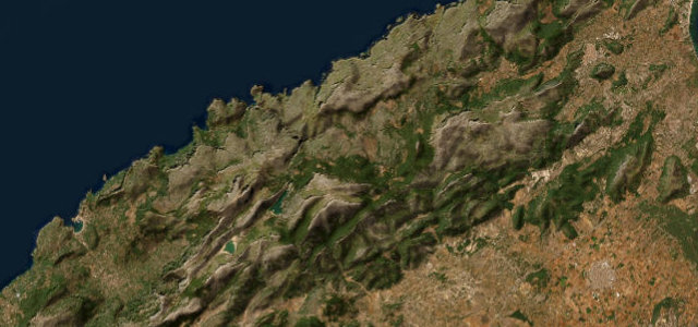
Balearic Islands · Spain
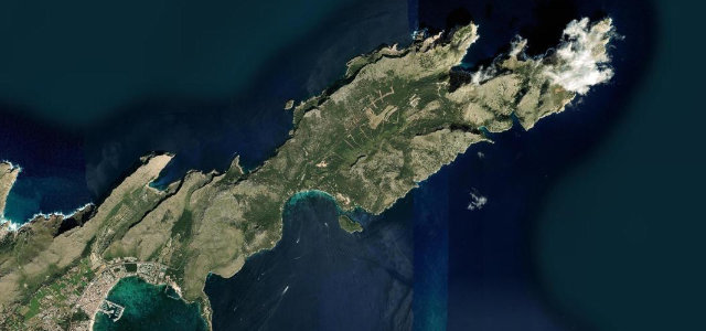
Cap de Formentor
MA-2210Port de Pollença to Cap de Formentor
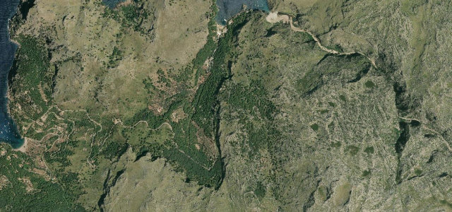
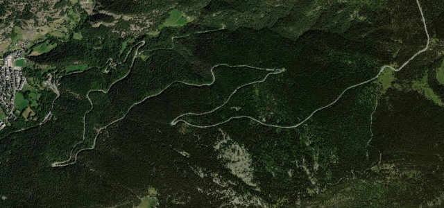
The same Parietti engineering as Sa Calobra, about 18 km of tight bends, rock tunnels and sea cliffs out to a lighthouse that has stood since 1863. In summer private cars are barred between 10am and 10pm, so set an alarm and drive it at dawn.
The MA-2210 winds about 18 kilometres from Port de Pollenca along the Formentor peninsula to a lighthouse opened in 1863, on the same Parietti engineering as Sa Calobra. The road climbs over tight bends, rock tunnels and steep cliffs above the sea. Mind the summer access restrictions, when private vehicles are barred between 10am and 10pm.
Where it runs11.4 mi · point to point
Navigate to the start: Apple Maps · Google Maps
Character
Corners
busiest around mile 10Elevation
under 4%4–8%over 8%8.8 – 228.7 mFrom the road
Points of interest3 stops
- Mirador d’es ColomerViewpoint3.3 mi in
- mirador del Racó d’en TomàsViewpoint9.0 mi in
- mirador del PuatViewpoint10 mi in
Hazards
- Seasonal vehicle restrictions
- Narrow tunnels
- Cliff drops
Sources
“The road winds in and around plunging limestone cliffs, where drop-offs are literally jaw-dropping.”
Verified route: mapped from real road geometry and fact-checked by a human editor. How roads get checked
Driving the Cap de Formentor: quick answers
How long does it take to drive the Cap de Formentor?
How difficult is the Cap de Formentor to drive?
When is the best time to drive the Cap de Formentor?
Nearby roads
The closest great drives to Cap de Formentor.