Barcelona province, Catalonia · Spain
Coll de Pal
BV-4024Baga to Coll de Pal
One of Catalonia’s hardest paved passes, climbing from Baga to a 2,100 m col.
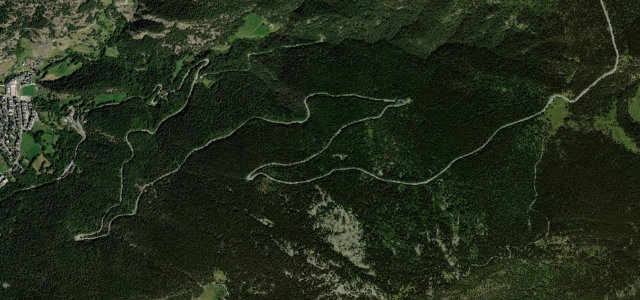
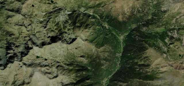
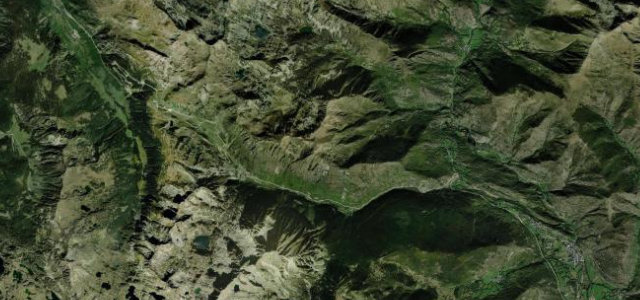
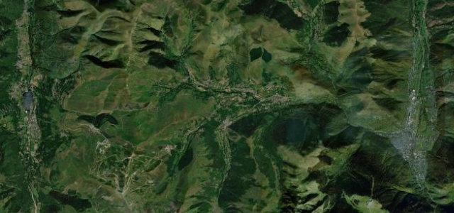
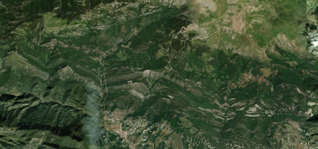
The BV-4024 climbs steeply from Baga in the Bergueda up to the Coll de Pal at around 2,100 m, on the divide between the Llobregat and Segre valleys. The paved southern side is the renowned drive, with sustained gradients into the low teens and grandstand Pyrenean views from the col. It is regarded as one of the toughest passes in Catalan cycling geography. Mind very steep ramps, the unpaved track that continues north past the col, and frequent fog and snow near the top.
Scenery
Best seasons
In these collections
Where it runs12.1 mi · point to point
Navigate to the start: Apple Maps · Google Maps
Character
Corners
busiest around mile 6Elevation
under 4%4–8%over 8%804.7 – 2,107.4 mFrom the road
Points of interest3 stops
- Coll de PalViewpoint12 mi in
- Coll de la Canal MalaViewpoint8.2 mi in
- Mirador de la DevesaViewpoint7.2 mi in
Hazards
- Very steep sustained ramps
- Unpaved track north of the col
- Fog and snow near the summit
Sources
“Coll de Pal is an Amazing Hidden Gem in the Catalan Pyrenees”
Verified route: mapped from real road geometry and fact-checked by a human editor. How roads get checked
Driving the Coll de Pal: quick answers
How long does it take to drive the Coll de Pal?
How difficult is the Coll de Pal to drive?
When is the best time to drive the Coll de Pal?
Nearby roads
The closest great drives to Coll de Pal.