Occitania · France
Col de Peyresourde
D618Bagnères-de-Luchon to Loudervielle
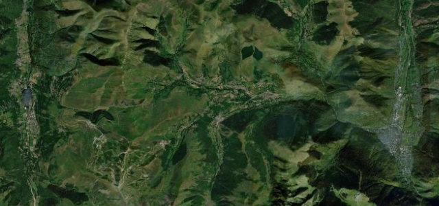
Steady ramps through green high pasture from Bagnères-de-Luchon to the Louron valley, raced by the Tour de France so often the road feels familiar before you arrive.
The D618 climbs the Col de Peyresourde between Bagnères-de-Luchon and the Louron valley, an open, much-raced Pyrenean pass of steady ramps and green high pasture, long familiar from the Tour de France. Mind the cyclists, the weather at the top, and ice in the colder months.
Scenery
MountainValley
Best seasons
SpringSummerAutumn
In these collections
Where it runs11.5 mi · point to point
Bagnères-de-LuchonStart · Occitania
LoudervielleEnd · Occitania
Navigate to the start: Apple Maps · Google Maps
Character
Corners32bends
Tightness5of 10
Max gradient8%≈ 1-in-13
Hairpins6tight bends
Climb959 mtotal ascent
Summit1,587.8 mhighest point of the line · 5,209 ft
Corners
busiest around mile 2Elevation
under 4%4–8%over 8%639.6 – 1,587.8 mFrom the road
Points of interest3 stops
- Col de PeyresourdeViewpoint8.3 mi in
- Cap de MontsarréViewpoint9.0 mi in
- Cap de SalidèreViewpoint9.7 mi in
Hazards
- Cyclists on the climbs
- Weather at the summit
- Ice in the colder months
Sources
“It's a beautiful climb through a scenic valley, but the highlight is definitely the final couple of kilometres up fantastic hairpins.”
Verified route: mapped from real road geometry and fact-checked by a human editor. How roads get checked
Driving the Col de Peyresourde: quick answers
How long does it take to drive the Col de Peyresourde?
Col de Peyresourde runs 11.5 miles (19 km) and takes about 23 min to drive without stops.
How difficult is the Col de Peyresourde to drive?
We rate it moderate: 32 corners including 6 hairpins, a maximum gradient of 8%, and a tightness of 5 out of 10.
When is the best time to drive the Col de Peyresourde?
Spring and Summer and Autumn are best.
Nearby roads
The closest great drives to Col de Peyresourde.
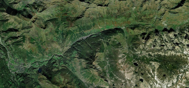
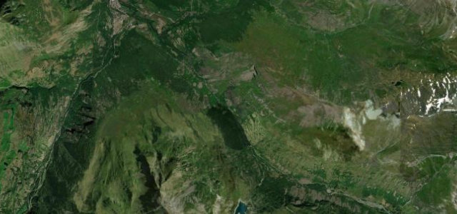
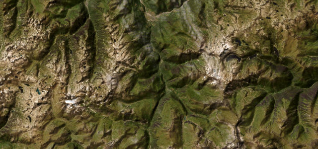
Col de Peyresourde
DirectionsGet the app